Pooley Country Park

 This cycle or walk takes you around the lovely Pooley Country Park in Warwickshire.
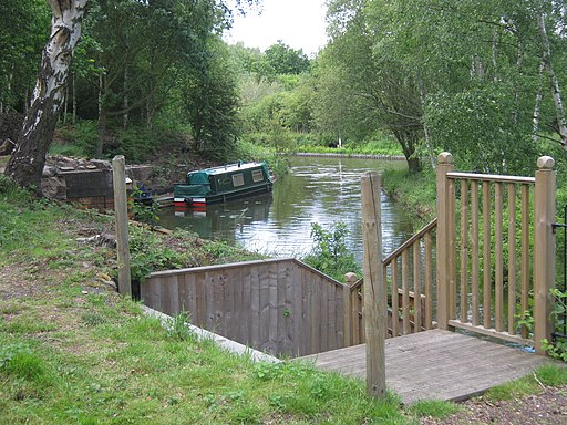
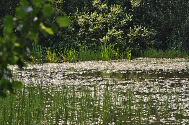
In the park you will find the Coventry Canal, a number of pretty lakes and the ruins of a Benedictine priory. The Alvecote Priory was founded in 1159 with the main entrance arch still standing at around 20 feet high.
There's also Pooley Hill to climb where you can enjoy panoramic views over the surrounding area.
Park facilities include a Visitor Centre & Tea Room.
If you're coming from the centre of Tamworth you could follow the Coventry Canal to the park on our Tamworth Canal Walk.
Postcode
B78 1JA - Please note: Postcode may be approximate for some rural locationsPlease click here for more information
Pooley Country Park Ordnance Survey Map  - view and print off detailed OS map
Pooley Country Park Open Street Map  - view and print off detailed map
Pooley Country Park OS Map  - Mobile GPS OS Map with Location tracking
Pooley Country Park Open Street Map  - Mobile GPS Map with Location tracking
Pubs/Cafes
There's an on site visitor centre and tea room selling a good range of meals, snacks and drinks.
Dog Walking
The park is great for dog walkers you'll probably see other owners on your visit. The woodland trails at the nearby Hopwas Woods are another ideal place to walk your dog in the area.
Further Information and Other Local Ideas
Just to the south of Tamworth you'll find the RSPB's Middleton Lakes Nature reserve. The expansive reserve includes lakes, river trails, meadows and an abundance of wildlife.
For more walking ideas in the area see the Warwickshire Walks page.


