Loch Ness Walk

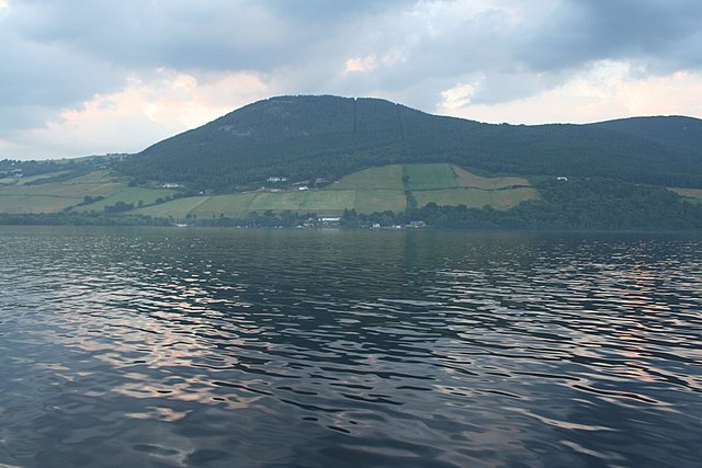
 This cycling and walking route follows cycle tracks and the Great Glen Way from Invermoriston to Drumnadrochit. The track runs through Creag Nan Eun Forest with splendid views of Loch Ness as you go. It's a 12 mile walk with some moderate climbs on the way, so a good level of fitness is required.
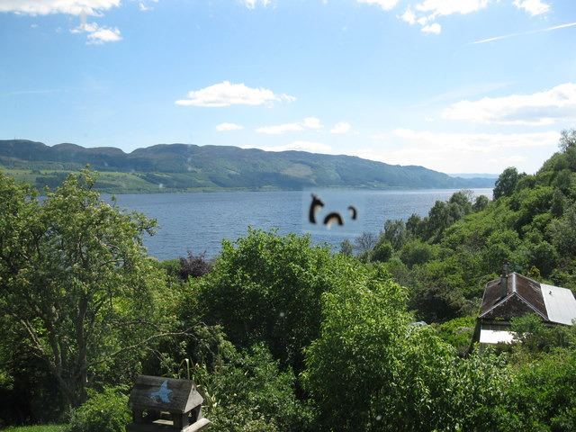
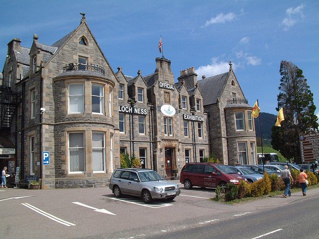
The loch is the second largest Scottish loch by surface area at 56 km2 (22 sq mi) after Loch Lomond, but due to its great depth, it is the largest by volume in the British Isles. However it is best known for alleged sightings of the famous Loch Ness Monster, also known affectionately as "Nessie".
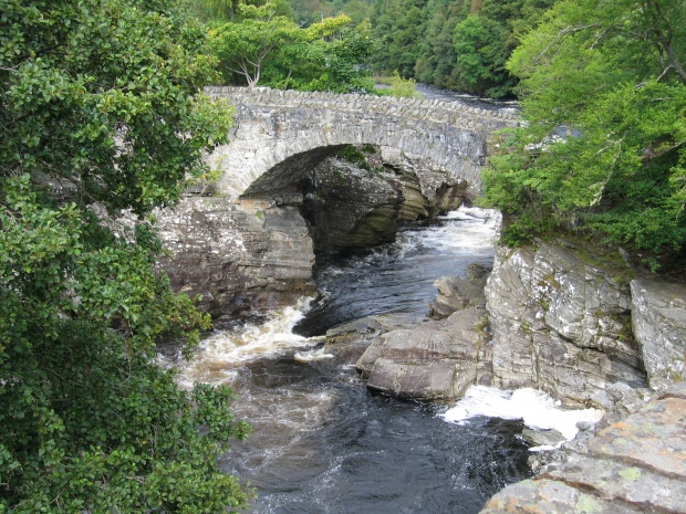
At the start of the walk you can enjoy a view of Invermoriston Falls from the 19th century Thomas Telford bridge. The old bridge is located just south west of the village and provides fine views over the rushing falls.
The Caledonia Way also runs along the loch. This epic cycle route runs for 234 miles from Campbeltown to Inverness. It's a great way of continuing your cycling or walking in the area.
Loch Ness Ordnance Survey Map  - view and print off detailed OS map
Loch Ness Open Street Map  - view and print off detailed map
Loch Ness OS Map  - Mobile GPS OS Map with Location tracking
Loch Ness Open Street Map  - Mobile GPS Map with Location tracking
Pubs/Cafes
The Glenmoriston Arms Hotel in Invermoriston is a fine place for some refreshments. The hotel has an interesting history being set in a former drover's inn dating from 1740. The old stags head on the wall looks over you as you enter and has welcomed travellers from all over the word for decades. They have a cosy bar area and a nice restaurant which does very good food. There's also a nice garden area to relax in on warmer days and good quality accommodation if you need to stay over.
Dog Walking
The woodland and lochside trails make for a great dog walk. The Glenmoriston hotel mentioned above also welcomes dogs in the bar area.
Further Information and Other Local Ideas
You can also follow the Great Glen Way from Fort Augustus to Invermoriston. You would pick up the trail at the southern end of the loch and then follow it north past the Portclair Forest.
Just to the west you'll find the community run Abriachan Forest. The expansive forest area includes a school which encourages learning in the outdoors and health and well being through exercise. The site includes around 40km of trails for walkers while mountain bikers can enjoy a fairly easy 3km green loop and a longer 5km blue trail. You can also visit the smaller Loch Laide in this area too.
On the north eastern side of the loch there's the lovely Dores Beach to visit. The delightful beach includes a fine lochside pub and forest trails to the finely positioned Aldourie Castle. Near here there's also Loch Duntelchaig and Loch Ashie. The smaller lochs are a more peaceful place for a stroll with most of the visitors heading to the more popular Loch Ness. Right next to it is the RSPB nature reserve at Loch Ruthven where you can look out for some interesting wildlife including Slavonian grebes, osprey and black-throated divers.
To the north of the loch there's one of the historic highlights of the area at Culloden Battlefield. There's a circular walking trail here which explores the site of the famous battle of 1746. The site includes an informative visitor centre where you can learn all about this fascinating conflict. On the south eastern side of the battlefield there's also the Clava Cairns and the Culloden Viaduct. The ancient Bronze Age site includes prehistoric burial monuments and the remains of a medieval chapel. It's also a short walk from the eye catching Culloden Viaduct which carries the Highland Main Line over the River Nairn.
The Affric Kintail Way can be picked up at Drumnadrochit. This long distance trail runs from Loch Ness to Morvich via Glen Urquhart and Glen Affric. If you were to follow the trail west it would take you to Loch Meiklie and the village of Cannich.
On the western side of the loch near Drumnadrochit you can visit the historic Urquhart Castle. The 13th century castle ruins are positioned in a dramatic spot overlooking the loch.
For more walking ideas in the area see the Scottish Highlands Walks page.


