Aberfoyle to Callander

 This popular ride takes you from Aberfoyle to Callander in the Loch Lomond and the Trossachs National Park. It's a splendid ride taking you through the Queen Elizabeth Forest Park to Loch Venachar and Loch Drunkie. The route runs for about 13 miles along National Cycle Route 7 on mostly traffic free paths.
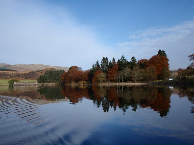
The route starts in the Stirling village of Aberfoyle and follows the signed cycle path north into the Achray Forest near Loch Achray. The woodland trails take you to the lovely Loch Drunkie where the path passes along the loch. Another woodland section then takes you on to the larger Loch Venachar. Here the route turns east following a great lochside trail to the easten end of the loch. The final section takes you along the river of Eas Gobhain into the finish point at Callander.
For a longer ride try the Dumbarton to Callander Cycle Route which gives great views of Loch Lomond.


