National Cycle Route 13
174 miles (280 km)

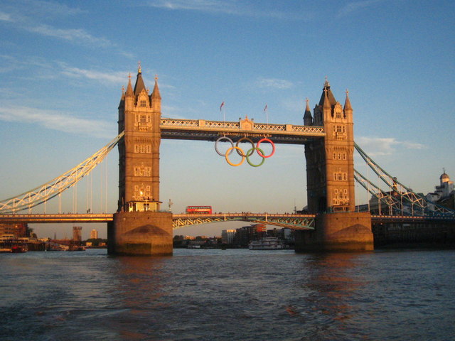
 This signed Sustrans Cycle Route takes you from Tower Bridge in London to Dereham in Norfolk, via Essex.
On the way you will pass through Tilbury, Colchester and Thetford before arriving in Dereham. Highlights include the wildlife and scenery at Rainham Marshes and several long traffic free sections.
Please note some of the route from Chelmsford to Colchester uses a section of National Cycle Route 1.
See the list below for manageable day rides along the route. Scroll further down for a route video and the full gpx download.
Cycle Routes along National Cycle Route 13
- Tower Bridge to Barking - Follow National Cycle route 13 through the London Docklands on this interesting route
- Chelmsford to Maldon - This route starts on the River Can in Chelmsford and follows the river and the Chelmer & Blackwater Canal out of the town centre and into the countryside where you'll then ride on quiet roads to Maldon on the Blackwater Estuary.
The route is pretty flat with highlights including the spell on the river and some attractive woodland and rural scenery. - Bury St Edmunds to Thetford - This pleasant cycle ride follows National Cycle routes 51 and 13 through Suffolk and into Norfolk.
You start near the ruined abbey at Bury St Edmunds and head through the town and out into the countryside on a traffic free cycle path - Thetford to Dereham - Follow National Cycle route 13 from Thetford to Dereham on this pleasant route
National Cycle Route 13 Ordnance Survey Map  - view and print off detailed OS map
National Cycle Route 13 Open Street Map  - view and print off detailed map
National Cycle Route 13 OS Map  - Mobile GPS OS Map with Location tracking
National Cycle Route 13 Open Street Map  - Mobile GPS Map with Location tracking
Further Information and Other Local Ideas
The long distance London To Edinburgh Cycle Route uses part of NCN 13 to take you between the two capital cities.


