Plymbridge Woods

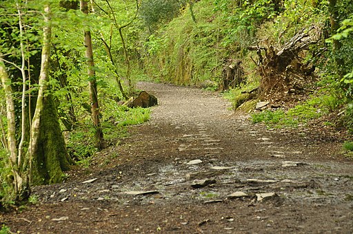
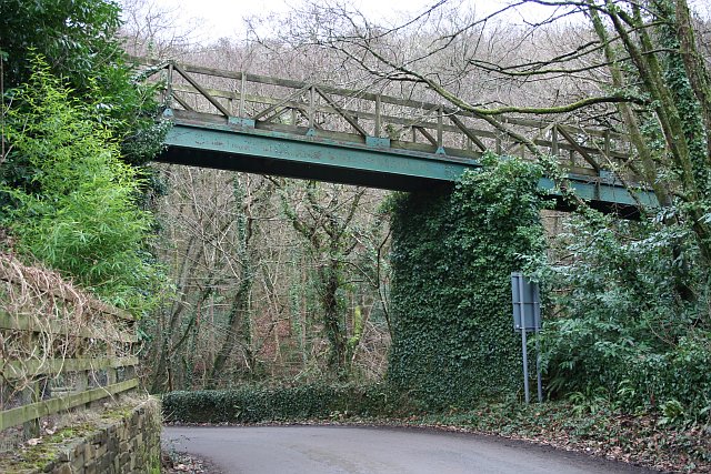
 This is the delightful Plymbridge Woods family cycle trail. It runs alongs the trackbed of a disused railway line through oak woodland, with the River Plym by your side for part of the ride. It's largely flat and uses a well surfaced track so it's a nice safe ride for children or for anyone looking for an easy introduction to cycling. You'll pass a series of viaducts, a disused railway station and pretty bridges over the river. There's also an abundance of wildlife to look out for including butterflies, foxes and deer. Birdlife includes dipper, grey wagtail, little grebe, grebe, heron and kingfisher. From the Cann Viaduct you may also see peregrine falcons breeding in the summer months.
The route starts at the National Trust car park at Plymbridge Woods and follows the Great Western Railway track north passing Cann Wood and Bickleigh Vale before finishing at Dewerstone Woods. It's a lovely trail which is suitable for cyclists and walkers.
To continue your exercise you can head east from the river and explore Cann Woods. There's some good mountain bike trails and miles of footpaths to be found here.
Another good option is to head to the nearby Burrator Reservoir which has miles of footpaths and cycleways to enjoy. Also nearby is the Cadover Bridge to Dewerstone Rocks walk which also runs along the River Plym.
If you head south you can visit Saltram Park where there is a great cycle trail along the River Plym estuary. The Plym Valley Trail will take you there if you head south or to Clearbrook if you head north.


