Queen Elizabeth II Country Park

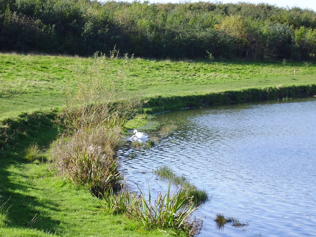
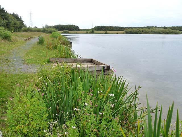
 Enjoy a short cycle or walk around the large lake in this pretty country park near Ashington. The lake is surrounded by woodland and grassland and there is also a miniature railway to ride. The park is situated on the site of the Woodhorn Colliery and the old colliery buildings have now been turned into a museum. Queen Elizabeth II Country Park is located near the Northumberland Coast between Newbiggin By the Sea and Ashington.
Druridge Bay Country Park is only a few miles north so you could continue your walk or ride along the coast to this beautiful park.
Postcode
NE63 9AT - Please note: Postcode may be approximate for some rural locationsQueen Elizabeth II Country Park Ordnance Survey Map  - view and print off detailed OS map
Queen Elizabeth II Country Park Open Street Map  - view and print off detailed map
Queen Elizabeth II Country Park OS Map  - Mobile GPS OS Map with Location tracking
Queen Elizabeth II Country Park Open Street Map  - Mobile GPS Map with Location tracking
Pubs/Cafes
At the northern end of the lake there's a Premier Inn for post walk refreshments. They have a decent restaurant serving a good range of meals and light bites. The Woodhorn Museum towards the south of the lake also has an on site cafe.
Dog Walking
The park is a great place for a dog walk so you'll probably see other owners on your visit.
Further Information and Other Local Ideas
The Woodhorn Colliery Museum is one of the area's highlights and located at the southern end of the park in what was once the largest pit village in the world. It's a fascinating place giving an insight into the area's social history with original buildings and equipment from the former colliery and a fantastic exhibition of miner's paintings as well.
Head a couple of miles south into Ashington and you could visit Wansbeck Riverside Country Park. There's more nice waterside trails to be found here along the River Wansbeck.
Just to the east you could pay a visit to the coastal town of Newbiggin By the Sea. There's some nice trails along the beach and bay with a noteworthy 13th century church and an interesting old 17th century pub to visit too.
To the south there's some nice trails along the River Blyth in Bedlington Country Park and Humford Woods.
For more walking ideas in the area see the Northumberland Walks page.


