Yorkshire Wolds Cycle Route
144 miles (231 km)

 This long distance circular cycle route explores the Yorkshire Wolds AONB.
Following mostly minor roads you will visit a number of historic market towns, picturesque villages and some splendid coastline.
The route starts and ends in Beverley and runs for a distance of about 143 miles. It uses Sustrans signed National Cycle Route 1 and National Cycle Route 66 for much of the way. It also links up with the epic Way of the Roses, another popular cycle ride through the area.
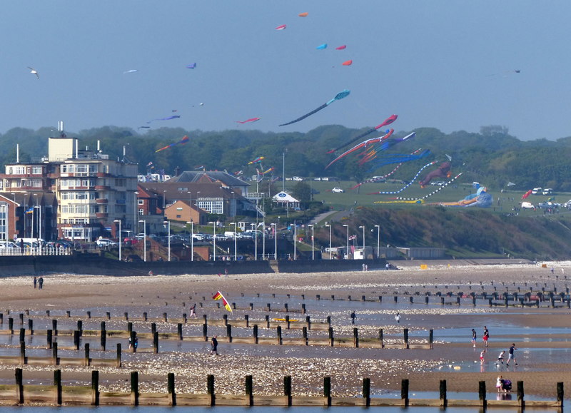
Highlights include the towns of Market Weighton and Pocklington with the coast around Bridlington a major attraction. See the Driffield to Bridlington route for more details on this section.
Scroll down to the bottom for the complete gpx file for the route.


