Birkrigg Common

 Explore the network of footpaths on this open-area of limestone countryside near Ulverston on the beautiful Furness Peninsula. It's a great place for walking with interesting geological features and tremendous views from the high points.
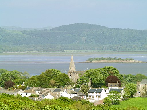
This circular walk starts from the car park at Ulverston Sands just to the east of the common. From here you can pick up the footpaths heading up to Birkrigg. The common reaches a height of 136 metres (446 ft), affording wonderful views over the Lake District, Yorkshire Dales, Howgills and across Morecambe Bay to Blackpool. There's lots of footpaths criss crossing the common so you can spend a couple of hours visiting the various ancient remains on the site. There's also some nice woodland trails in Sea Wood near the end of the route.
The area is also historically significant with Several bronze age tumuli and the The Druid's Circle. The circle lies on the south-east side of the site and consists of two rings of stones, dating from 1700 to 1400 BC.
The Cistercian Way long distance trail passes just to the west of the common. You can pick it up to extend your walk and visit the nearby Urswick Tarn. As an alternative route to the site you could pick up the trail from Ulverston and follow it to the common.
In Ulverston itself you can enjoy an easier waterside walk along the Ulverston Canal.
There's also the Cumbria Coastal Way which you can follow north to Greenodd sands or south to Roa Island. There's wonderful coastal views over Ulverston Sands to enjoy here.


