Brecon to Talybont Canal Walk

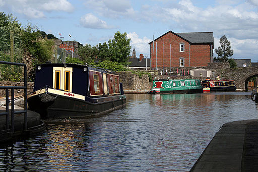
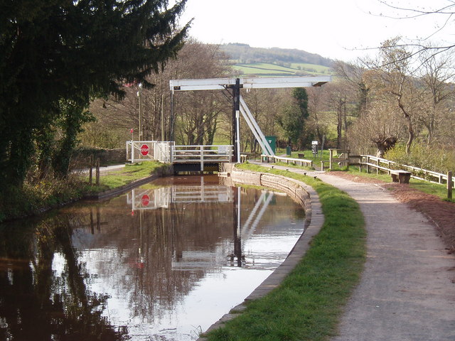
 This waterside walk takes you along the opening section of the Monmouthshire and Brecon Canal, from Brecon to the village of Talybont On Usk. The route runs for just over 7 miles on the flat canal towpath, passing a series of aqueducts, old bridges, marinas and weirs.
The walk starts from the canal basin in Brecon and heads east towards the Brynich Aqueduct which carries the canal over the River Usk. The route turns south here, taking you to Storehouse Bridge where there's a marina and another aqueduct.
The final section runs from Pencelli into Talybont-on-Usk. The small village has a shop and several pubs for refreshments after your walk.
You can extend the walk by continuing south to Talybont Reservoir. The Taff Trail runs along the eastern side of the water. There are splendid views over the water to the surrounding hills and beautiful waterfalls near Abercynafon at the southern end of the reservoir. Another walk can be followed along the line of the former Brinore Tramroad which runs south from the canalside wharf in the village around the western flanks of Y Wenallt and Tor Y Foel.
Postcode
LD3 7JE - Please note: Postcode may be approximate for some rural locationsBrecon to Talybont Canal Walk Ordnance Survey Map  - view and print off detailed OS map
Brecon to Talybont Canal Walk Open Street Map  - view and print off detailed map
Brecon to Talybont Canal Walk OS Map  - Mobile GPS OS Map with Location tracking
Brecon to Talybont Canal Walk Open Street Map  - Mobile GPS Map with Location tracking
Pubs/Cafes
We recommend heading to the Usk Inn in Talybont at the end of the walk. The pub dates from the 1840s and has a nice outdoor seating area to relax in during the summer months. The old inn is in an enviable position on the edge of the village, opposite the former railway station and yard. You can find it at postcode LD3 7JE.
The White Hart is an historic Coaching Inn which has welcomed travelers for over 300 years. Located near the canal it has an extensive menu and a nice outdoor seating area. The inn is dog friendly so you can bring your pooch. You can find the pub at postcode LD3 7JD for your sat navs.
Further Information and Other Local Ideas
The circular Henry Vaughan Walk starts and finishes in Talybont. The interesting literary walk follows in the footsteps of the 17th century poet Henry Vaughan. It visits the pretty Vaughan Garden and features a series of information panels with details of his life and works.


