Brockenhurst Walks

 The large village of Brockenhurst is a popular base for walkers wishing to explore the New Forest. The train station also makes it easily accessible with regular trains from London, Bournemouth and Poole.
This circular walk explores the woodland to the east of the village, visiting Lymington Water, the Perrywood Ironshill Inclosure, the New Copse Inclosure, Standing Hat and Balmer Lawn.
You can start off from the car park at Ivy Wood and then follow footpaths south along the river before turning east into the woods. The paths will take you towards the campsite at Lodge Heath before passing the Ladycross Inclosure.
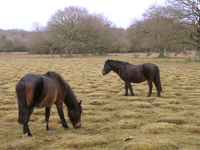
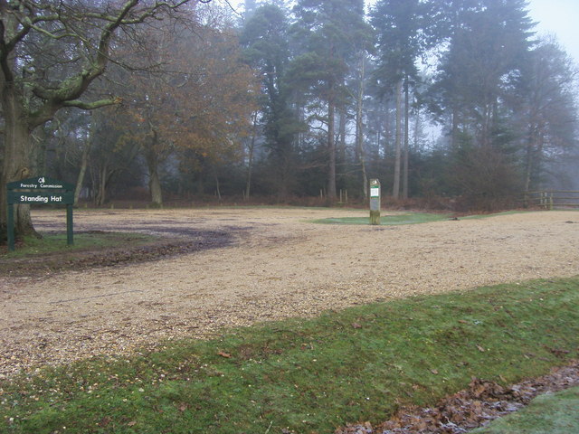
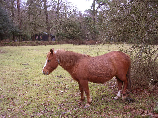
The route then turns west to the Pignalhill Inclosure, visiting Standing Hat and Balmer Lawn. The large lawn is a good place to see ponies grazing and the site of the Balmer Lawn Hotel. The impressive hotel dates from the early 19th century. It has hosted many famous guests including King George V, Winston Churchill and U.S. General Dwight D. Eisenhower.
The route then returns to Standing Hat before heading through the Perrywood Ivy Inclosure and returning to Brockenhurst.
Brockenhurst Ordnance Survey Map  - view and print off detailed OS map
Brockenhurst Open Street Map  - view and print off detailed map
Brockenhurst OS Map  - Mobile GPS OS Map with Location tracking
Brockenhurst Open Street Map  - Mobile GPS Map with Location tracking
Walks near Brockenhurst
- Standing Hat - This easy circular walk takes you through Forestry Commission managed Inclosures near Brockenhurst in the New Forest
- Ober Water - This nice, easy walk takes you around the pretty Ober Water in the New Forest
- Blackwater Arboretum Trail - Explore the New Forest's Blackwater Arboretum on two super waymarked walking trails
- Wilverley Plain - This circular walk visits Wilverley Plain and the Wilverley Inclosure in the New Forest.
- Hatchet Pond - This large pond in the New Forest makes for a nice, easy circular walk
- Brockenhurst to Boldre via Roydon Woods - This route follows bridleways between Brockenhurst and the village of Boldre in the New Forest
- Brockenhurst to Lymington Walk - Follow public footpaths and country lanes from the New Forest to the coast
- Brockenhurst to Lyndhurst Walk - This walk takes you between two major settlements in the New Forest National Park
- Denny Wood - This walk visits Denny Wood and the Denny Inclosure in the New Forest
- Puttles Bridge - This walk starts from the Puttles Bridge car park near Brockenhurst in the New Forest
- Hollands Wood - This walk visits the Hollands Wood and Ramnor Inclosure sections of the New Forest.
Further Information and Other Local Ideas
Just to the north east you'll find Denny Wood. It's a peaceful area of the forest with good walking and cycling paths to try. Deer and ponies are often spotted here because of the tranquil nature of the area.
About a mile to the west is the popular Puttles Bridge where you can enjoy a walk along the pretty Ober Water and visit the beautiful grounds of the Rhinefield House hotel. The hotel is a splendid place for afternoon tea before a stroll around the ornamental gardens.
For more walking ideas in the area see the New Forest Walks page.


