Buckholt Woods
2 miles (3.8 km)

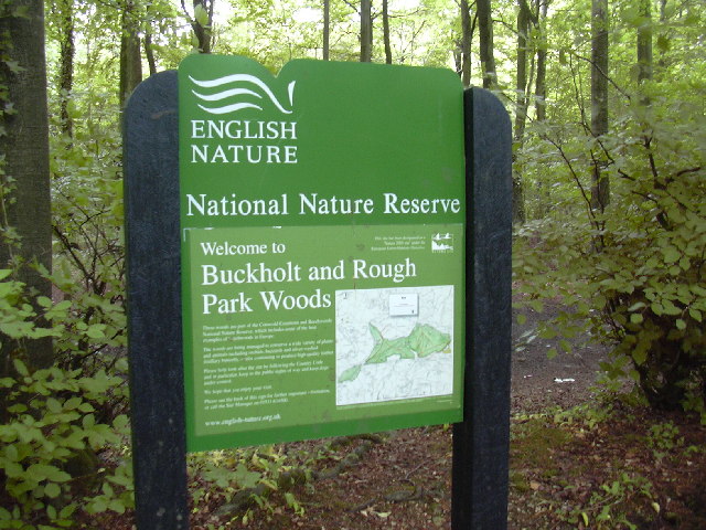
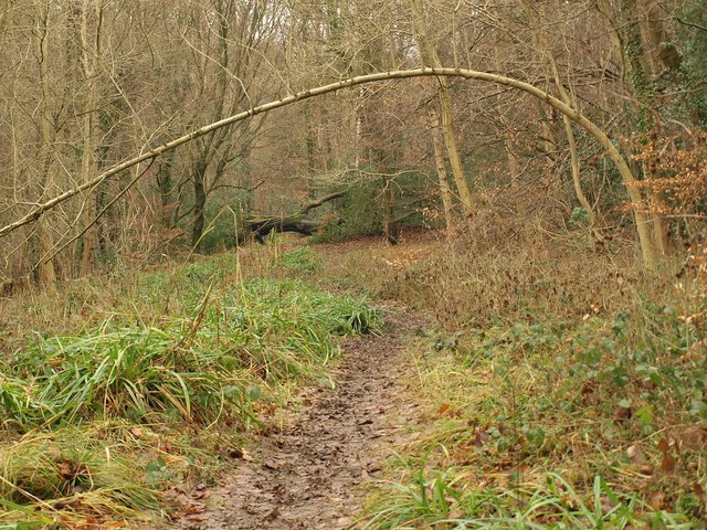
 This walk visits Buckholt Woods and Rough Park Woods near Cranham in the Cotswolds in Gloucestershire.
The woods are desginated as a National Nature Reserve with lots of interesting flora and fauna to see.
You can start the walk from the Buckholt Woods free car park at the southern end of the site. There's several different trails to try with a visit to Coopers Hill to the north. The infamous hill is the site of the high octane annual cheese rolling event.
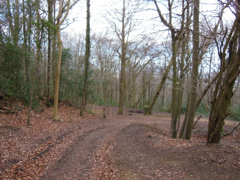
There's also a single track mountain bike trail which you can see on the blue line on the open street map below.
Part of the walk uses a section of the Cotswold Way National Trail which runs through the area.


