Walk around Burnley on the Burnley Way

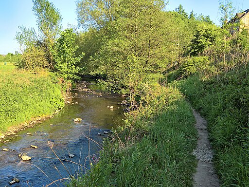
 This long circular walk explores the rivers, canals, reservoirs and moorland around the Lancashire town of Burnley.
The walk starts in the town centre near to the Manchester Road railway station. Highlights on the walk include the historic Gawthorpe Hall, the Hameldon Hill viewpoint, the pretty Clowbridge Reservoir, the River Calder, the 440 acre Towneley Park, Hurstwood Reservoir and Widdop Reservoir. There's some splendid moorland scenery and hill climbs with great views over the area to enjoy.
Burnley Way Ordnance Survey Map  - view and print off detailed OS map
Burnley Way Open Street Map  - view and print off detailed map
Burnley Way OS Map  - Mobile GPS OS Map with Location tracking
Burnley Way Open Street Map  - Mobile GPS Map with Location tracking
Walks near Burnley
- Towneley Park - Explore the 440 acres of parkland surrounding Towneley Hall in Burnley, Lancashire
- Clowbridge Reservoir - Enjoy a circular walk around this pretty reservoir near Burnley
- Hurstwood Reservoir - This circular walk takes you around Hurstwood Reservoir in Burnley.
Start the walk from the public car park in the village of Hurstwood just to the west of the reservoir - Nelson - The Lancashire town of Nelson is located in the Pendle area of the county
- Gawthorpe Hall - Explore the parkland and countryside surrounding this Elizabethan country house in Padiham
- Widdop Reservoir - Widdop Reservoir is located near Hebden Bridge in Yorkshire
- Bronte Way - Follow the Bronte Way through Lancashire and Yorkshire and visit many of the places associated with writings and lives of the Bronte Sisters.
Highlights on the walk include:
Gawthorpe Hall - visited by Charlotte Bronte on several occasions, the impressive Gawthorpe Hall is the start point of the walk
Wycoller Country Park - Wycoller Hall is believed to have inspired Ferndean Manor in Charlotte Bronte's "Jane Eyre" - Rossendale Way - This circular walk takes you on a tour of the lovely Rossendale area of Lancashire and Greater Manchester.
The path passes Haslingden, Rawtenstall, Whitworth, Stubbins and Healey with a series of attractive reservoirs including Cowpe and Calf Hey real highlights - Gorple Reservoir - Visit the Gorple Reservoirs on this walk in Calderdale
- Leeds and Liverpool Canal - Enjoy waterside cycling and walking along Britain's longest single canal
Further Information and Other Local Ideas
On the northern side of the town the route passes the Leeds and Liverpool Canal. You could pick up the towpath and enjoy a waterside walk to Brierfield to the north of the town.
For more walking ideas in the area see the Lancashire Walks and the South Pennines Walks pages.


