GPS Cycle and Walking Routes

Caldbeck to Carlisle

15 miles (24 km)

This is the fifth and final leg of the Cumbria Way taking you from Caldbeck to the finish point in Carlisle.
This section descends to Carlisle following the River Caldew for most of the route. You will pass through the villages of Sebergham, Buckabank and Dalston walking on a mixture of public footpaths and bridleways.

Caldbeck to Carlisle OS Map - Mobile GPS OS Map with Location tracking

Caldbeck to Carlisle Open Street Map - Mobile GPS Map with Location tracking

Cycle Routes and Walking Routes Nearby

Photos

Houses in Caldbeck - geograph.org.uk - 949584

Houses in Caldbeck

Pasture, Sebergham - geograph.org.uk - 1566138

Pasture, Sebergham. Looking towards the northern Pennines from near the Goose Green crossroads. The silo is at Bulman Hill.

Buckabank - geograph.org.uk - 327315

Buckabank

River Caldew, Carlisle - geograph.org.uk - 959647

The River Caldew just upstream from its confluence with the River Eden in Carlisle.

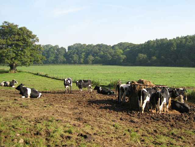
Pastures above the Caldew - geograph.org.uk - 986859

Pastures above the Caldew

Plantations above the Caldew - geograph.org.uk - 96928

Plantations above the Caldew. The conifers here have been felled. Deciduous trees have been planted in their place. A few older ones remain. Looking east.

GPS Files

GPX File

Caldbeck to Carlisle.gpx (On Desktop:Right Click>'Save As. On Ipad/Iphone:Click and hold>Share>Save to Files')

Memory Map Route

Caldbeck to Carlisle.mmo (On Desktop:Right Click>'Save As. On Ipad/Iphone:Click and hold >Share>Save to Files)