Cawsand Walks - Mount Edgcumbe and Cawsand Circular Walk

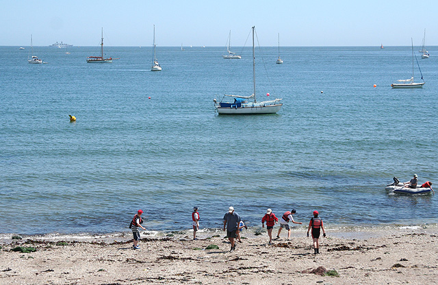
 This circular walk explores the beautiful Kingsand Beach, Cawsand Bay and Mount Edgcumbe Country Park on the border of the Cornwall and Devon coast.
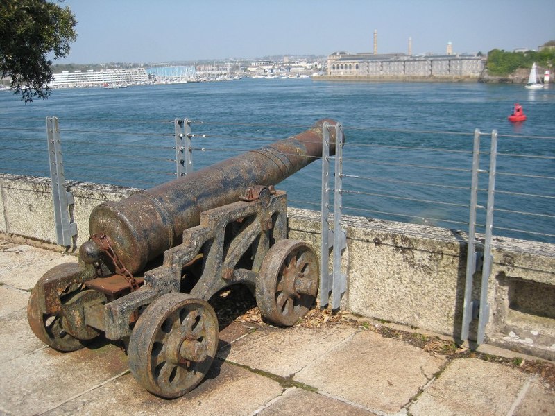
The walk starts at the car park at Cawsand where you can pick up the coast path and follow it north east along the bay and the shingle beach to Mount Edgcumbe. In the expansive park there's a deer park, the historic Mount Edgcumbe House and excellent views over to Plymouth on the other side of the water. After exploring the park you can follow a section of the National Cycle Network south west to return to Kingsand and Cawsand.
You can continue your walking in the area by exploring Rame Head. Here you can enjoy some pleasant coastal woodland paths and visit the mediaevel Rame Chapel, one of the historic highlights of the area.
Postcode
PL10 1PA - Please note: Postcode may be approximate for some rural locationsCawsand Ordnance Survey Map  - view and print off detailed OS map
Cawsand Open Street Map  - view and print off detailed map
Cawsand OS Map  - Mobile GPS OS Map with Location tracking
Cawsand Open Street Map  - Mobile GPS Map with Location tracking
Pubs/Cafes
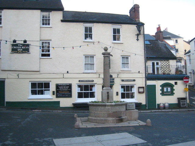
The twin villages of Kingsand and Cawsand have plenty of pubs and cafes for post walk refreshment. The Halfway House sits in a lovely spot on a stream which once marked the border between Cornwall and Devon. They serve good quality food and also provide rooms if you'd like to stay over. There's a beer garden out back to relax in on warmer days too. You can find them in Kingsand on Fore Street at postcode PL10 1NA.
Dog Walking
Cawsand beach is dog friendly except between the 1 July - 31 August when a seasonal dog ban is in place during the daytime.
Further Information and Other Local Ideas
At the eastern end of the walk you could catch the Cremyl Ferry to Plymouth and pick up Plymouth's Waterfront Walkway.


