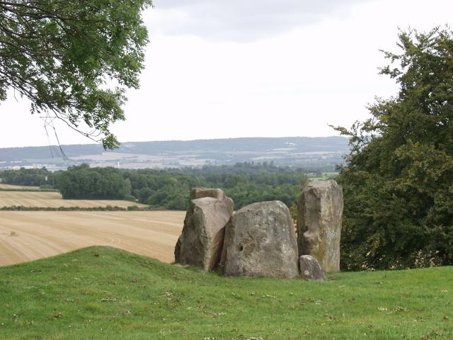
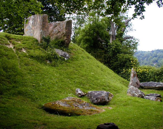
Coldrum Long Barrow

 This circular walk visits the ancient Coldrum Long Barrow before exploring the woodland trails in Trosley Country Park. The Long Barrow is about 3,000 years old and the only one in the Medway Valley to remain virtually intact.
You can start the walk from the Coldrum car park located just to the east of the village of Trottiscliffe. From here you can pick up trails heading south east to the Long Barrow. There's also some fine views over the surrounding North Downs countryside here.
The route then skirts the edge of Ryarsh Wood before turning north to join with the North Downs Way. Follow the waymarked trail west and it will take you into Trosley Country Park. There's a series of waymarked walking trails to follow through the attractive woodland of the park.
After exploring the park the route then heads towards Trottiscliffe before returning to the car park.
Postcode
ME19 5EL - Please note: Postcode may be approximate for some rural locationsPlease click here for more information
Coldrum Long Barrow Ordnance Survey Map  - view and print off detailed OS map
Coldrum Long Barrow Open Street Map  - view and print off detailed map
Coldrum Long Barrow OS Map  - Mobile GPS OS Map with Location tracking
Coldrum Long Barrow Open Street Map  - Mobile GPS Map with Location tracking
Pubs/Cafes
The George Inn in Trottiscliffe is a good choice for some refreshments on the walk.
Dog Walking
The country paths and woodland trails on the walk are good for dog walking. The George Inn mentioned above is also dog friendly.
Further Information and Other Local Ideas
The stones are part of the Medway Megaliths, a series of Early Neolithic chambered long barrows and megalithic monuments located in the lower valley of the River Medway, near Chatham. You can explore some of the other sites on the Medway Megaliths Walk. This circular route can be picked up a few miles to the east at Blue Bell Hill near Burham. It visits the Coffin Stone, Kit's Coty House and Little Kit's Coty House, constructed circa 4000 BCE.
For more walks in the area see the North Downs Walks page.


