Coventry Way

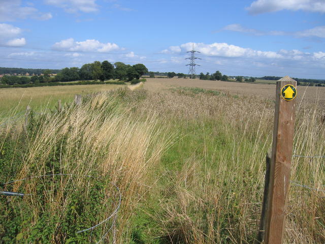
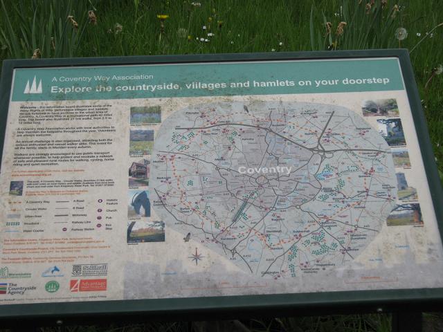
 This walk circles the countryside around Coventry taking you through some fine Warwickshire countryside and a series of interesting villages.
The walk starts in the village of Meriden at the geographical centre of England. You then head towards Kenilworth with its impressive castle - described by architectural historian Anthony Emery as the 'finest surviving example of a semi-royal palace of the later middle ages, significant for its scale, form and quality of workmanship'. The route continues towards Stoneleigh and the fascinating Grade I listed Stoneleigh Abbey.
With 690 acres of parkland and overlooking the River Avon the abbey is well worth a visit.
From Stoneleigh you continue to Wolston where you follow the River Avon to Bretford and then onto Brinklow. Here you join the Oxford Canal towards Bedworth. The final section leads back to Meriden passing Birchley Hays wood and Corley Moor on the way.
Please click here for more information
Coventry Way Ordnance Survey Map  - view and print off detailed OS map
Coventry Way Open Street Map  - view and print off detailed map
Coventry Way OS Map  - Mobile GPS OS Map with Location tracking
Coventry Way Open Street Map  - Mobile GPS Map with Location tracking
Pubs/Cafes
The Bull's Head is an historic coaching inn dating back to the 1600s and located at the route start in Meriden. They serve good food which you can enjoy in their lovely courtyard and garden area. You can find them on the Main Road at postcode CV7 7NN for your sat navs. The pub is dog friendly.


