Cragg Vale Walks

 The small village of Cragg Vale is located near Mytholmroyd in the Calderdale area of the South Pennines.
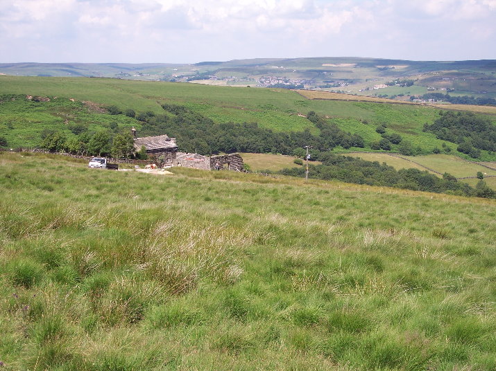
There's some lovely moorland scenery, pretty reservoirs and several waymarked, long distance trails running through the area.
The village is also known for The Cragg Vale Coiners, a band of counterfeiters that produced fake gold coins in the late 18th century to supplement small incomes from weaving.
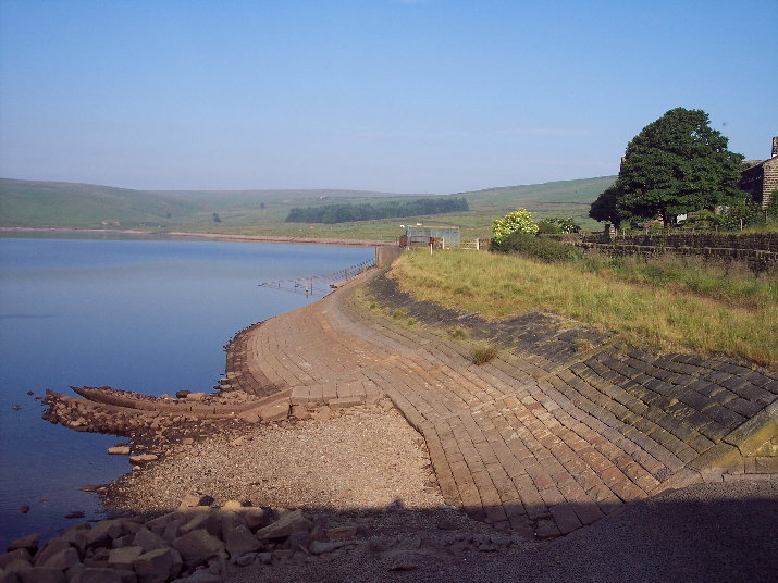
This walk from the village takes you to the nearby Withens Clough Reservoir before returning via the elevated spot at Turley Holes Edge. The walk starts in the village where you can pick up the Calderdale Way and follow the waymarked trail west to the reservoir, passing Tenter Wood. You can then follow a footpath around the reservoir where there are lovely views across the water. You then head east up to Turley Holes Edge. There's a cairn here and excellent views across the heather clad moors. From here you descend to Hove Yard Wood and Cove Hill before turning north to return to the village.
To extend the walk you could head north from the reservoir to Bell House Moor. Here you will find the house of David Hartley, leader of the Cragg Vale coiners.
Cragg Vale Ordnance Survey Map  - view and print off detailed OS map
Cragg Vale Open Street Map  - view and print off detailed map
Cragg Vale OS Map  - Mobile GPS OS Map with Location tracking
Cragg Vale Open Street Map  - Mobile GPS Map with Location tracking
Pubs/Cafes
Back in the village you could head to The Hinchliffe Arms for some post walk refreshments. They do excellent food and also have outside seating and an outside veranda. The inn can be found at Church Bank Lane with a postcode of HX7 5TA for your sat navs. There is ample parking at the pub too.
Further Information and Other Local Ideas
Just to the north west you will find one of the walking highlights of the area at Stoodley Pike. At the top is Stoodley Pike monument, built in 1856 at the end of the Crimean War. You can climb the stairs of the monument to a viewing platform and enjoy wonderful views over Calderdale.
To the west of the reservoir you can pick up the Pennine Bridleway and the Pennine Way. You could follow the trails south to Warland Reservoir and Langfield Common.
The circular Walk around Todmorden can be picked up just to the west and followed to the nearby Warland Reservoir and White Holme Reservoir. Near here there's also the pretty Gaddings Dam. The small reservoir is notable for having the highest beach in Britain.
For more walking ideas in the area see the South Pennines Walks page.


