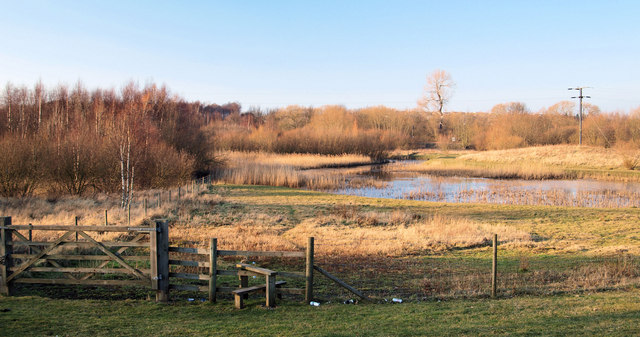
Danum Trail - Doncaster, Rossington, Maltby, Denaby Ings, Kirk Sandall Walk
50 miles (80 km)

 Enjoy the woodlands, nature reserves, country parks and farmland around Doncaster on this splendid walk through the Yorkshire countryside. The walk begins at the Dome Leisure Park in Doncaster and passes through a series of pretty towns and villages including Rossington, Tickhill, Maltby, Conisbrough and Stainforth before finishing at Kirk Sandall.
Walk highlights include:
- Waterside stretches along the River Don and the River Don Navigation Canal.
- The 12th century, medieval Conisbrough Castle which boasts the finest Circular Norman Keep Tower still surviving. Climb the castle for splendid views as shown in the video below. Near here there's also the impressive Conisbrough Viaduct.
- The delightful Denaby Ings Nature Reserve - a marshland supporting many botanical species which straddles the old course of the River Dearne, close to the confluence of the rivers Dearne and Don.
- The beautiful landscaped gardens at Campsall Country Park which includes open grassland, meadow, ponds and wet and dry mixed semi-natural broadleaf and Yew woodland.
- The 12th century castle with moat and mill pond in the pretty village of Tickhill.
At Maltby it's worth taking a slight detour from the route to visit Roche Abbey. The site is located just to the south of the town and includes some fascinating 12th century ruins set in beautiful parkland.
Danum Trail Ordnance Survey Map  - view and print off detailed OS map
Danum Trail Open Street Map  - view and print off detailed map
Danum Trail OS Map  - Mobile GPS OS Map with Location tracking
Danum Trail Open Street Map  - Mobile GPS Map with Location tracking
Further Information and Other Local Ideas
For more walking ideas in the area see the Yorkshire Walks page.


