Ditchling Common Country Park

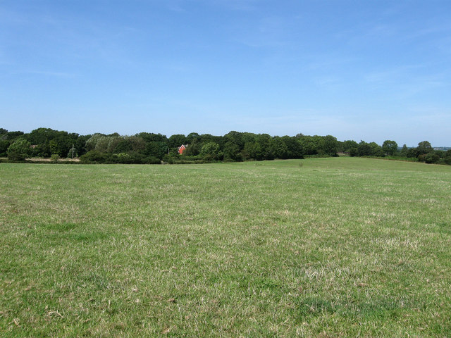
 Explore 188 acres of lovely parkland near Burgess Hill in East Sussex. The park trails pass oak trees, grassland, a lake and a stream. Many different birds visit the park including stonechats, linnets, woodpeckers, chiffchaffs, and blackcaps. In the spring months the area is a draw for walkers as it's covered in carpets of bluebells. Cycling is permitted through the park along the bridleways but all of the paths are open to walkers.
There is a car park on Folders Lane at the southern end of the site. From here you can pick up the trails heading north across the common. Burgess Hill train station is about a mile to the west if you prefer to visit by public transport.
Postcode
BN6 8SQ - Please note: Postcode may be approximate for some rural locationsPlease click here for more information
Ditchling Common Country Park Ordnance Survey Map  - view and print off detailed OS map
Ditchling Common Country Park Open Street Map  - view and print off detailed map
Ditchling Common Country Park OS Map  - Mobile GPS OS Map with Location tracking
Ditchling Common Country Park Open Street Map  - Mobile GPS Map with Location tracking
Dog Walking
The common is a nice place to take the dog for a walk so you'll probably bump into other owners on your visit. There are dog bins dotted around the site too. There is cattle and wildlife on the common so it's advised to keep them under close control or on leads.
Further Information and Other Local Ideas
The Sussex Border Path skirts the south eastern edge of the common. You could pick up this waymarked trail and follow it south to visit Ditchling Beacon on the Burgess Hill Walk. There are great views over the Low Weald from this popular viewpoint.
On the northern side of Burgess Hill there's the Bedelands Nature Reserve to explore. The wildlife rich reserve includes bluebell woodland, wildflower meadows, grazed meadows, a lake and a waterfall.
For more walking ideas in the area see the Sussex Walks page.


