East Leake Walks

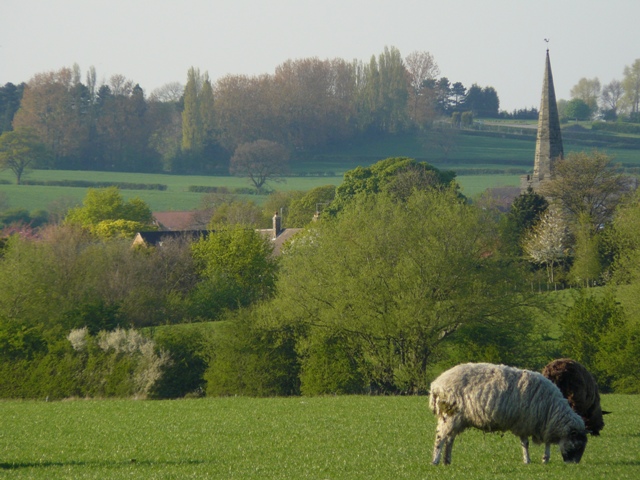
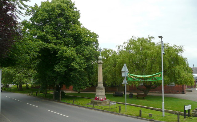
 This pretty Nottinghamshire village has a picturesque green, a selection of waymarked country trails and a fine local farm to visit. There's also some fine old pubs and a noteworthy 11th century church to see in the village.
This circular walk from the village, visits neighbouring West Leake using a section of the Midshires Way which runs through the area.
The walk starts in Meadow Park in East Leake and follows footpaths north to meet with the Midshires Way around Rushcliffe Halt. The station is on the heritage Great Central Railway with more information here. From near here you can follow the waymarked footpath north west to Crow Wood Hill before turning south west to Fox Hill and West Leake.
After exploring the village the route then heads east along a country lane back to East Leake.
The village is home to the lovely Manor Farm which is well worth a visit. Here you'll find a 25 acre park with woodlands and a variety of breeds including donkeys, rabbits, guinea pigs, rats, lizards, snakes, parrots and axolotls. You can find them on Castle Hill on the eastern side of the village at postcode LE12 6LU for your sat navs.
East Leake Ordnance Survey Map  - view and print off detailed OS map
East Leake Open Street Map  - view and print off detailed map
East Leake OS Map  - Mobile GPS OS Map with Location tracking
East Leake Open Street Map  - Mobile GPS Map with Location tracking
Pubs/Cafes
The historic Bulls Head is a good choice for some post walk refreshment. Inside there's an interior for of character with exposed timber and low beams. Outside there's a nice garden area for warmer days. You can find them on Main Street at postcode LE12 6PG. The Nags Head is on Main Street too and also has a garden to sit out in.
There's also the Three Horseshoes to consider. They serve a fine Sunday roast and can be found at 1 Brookside with a postcode of LE12 6PB.
Dog Walking
The country trails make for a fine dog walk and the Nags Head mentioned above is also dog friendly.
Further Information and Other Local Ideas
You could follow the Midshires Way north east to visit Bunny where you'll pass Bunny Hall and Park. The historic grade I listed country house dates from 1720.
Head into nearby Loughborough and you can pick up the Loughborough Canal Walk which follows the Grand Union Canal and the River Soar to Barrow upon Soar and Leicester.
Head north into Nottingham and you can pick up the Nottingham Canal Walk, the Nottingham Circular Walk and the Beeston Canal Walk.
The pretty Rushcliffe Country Park is also just to the north, in Ruddington. Here you'll find wildflower meadows, grassland and lots of wildlife around the water features in the pretty park.
Just to the west there's the neighbouring village of Kegworth where you can enjoy a stroll along a canalised section of the River Soar. There's also the splendid Sutton Bonnington hall in this area.
For more walking ideas in the area see the Nottinghamshire Walks page.


