Eckington Walks

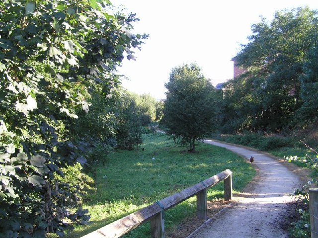
 This Derbyshire town has some nice trails to follow along the River Rother and around the historic Renishaw Hall.
This walk from the town visits one of the highlights of the area at Rother Valley Country Park.
The walk starts in the town and heads east to Chapelwheel Dam and the disused section of the Chesterfield Canal. Here you can pick up the Trans Pennine Trail and follow it north along a dismantled railway line which can be used by both walkers and cyclists. This will take you to Rother Valley Park where you can enjoy a circular walk around the lovely large lake.
The route then heads south passing Nethermoor Lake, Sheepcote Hill, Killamarsh, and Netherthorpe before picking up the Trans Pennine Trail again and following back towards Eckington.
Postcode
S21 4FP - Please note: Postcode may be approximate for some rural locationsEckington Ordnance Survey Map  - view and print off detailed OS map
Eckington Open Street Map  - view and print off detailed map
Eckington OS Map  - Mobile GPS OS Map with Location tracking
Eckington Open Street Map  - Mobile GPS Map with Location tracking
Walks near Eckington
- Rother Valley Country Park - Rother Valley Country Park is located near Sheffield and is an excellent place for a peaceful waterside walk or cycle
- Renishaw Hall - This country house near Sheffield is surrounded by attractive parkland and gardens
- Langold Lake Country Park - Enjoy woodland, wildlife meadows and two pretty lakes in this 300 acre country park near Worksop
- Roche Abbey - Explore the atmospheric ruins of Roche Abbey on this short walk in Maltby
- Poolsbrook Country Park - This 180 acre park consists of 85 acres of woodland, 42 acres of grassland and 23 acres of green water
- Trans Pennine Trail - This terrific walking and cycling trail runs from coast to coast across northern England entirely on surfaced paths
- Chesterfield Canal - A waterside walk along the Chesterfield Canal from Chesterfield to Staveley.
The walk starts from the train station where you can pick up a section of the Cuckoo Way to take you north along the River Rother - Cuckoo Way - This walk follows the Chesterfield Canal through Nottinghamshire, South Yorkshire and Derbyshire from Chesterfield to West Stockwith
- Harthill Reservoir - This pretty reservoir is located in the village of Harthill in South Yorkshire
- Pebley Reservoir - This walk visits Pebley Reservoir and Harthill Reservoir from the Derbyshire village of Barlborough
- Hodsock Priory - This circular walk takes you around Hodsock Priory in the Nottinghamshire village of Hodsock.
Pubs/Cafes
The Moss Brook Inn is a good choice for post walk refreshment. They do a fine Sunday lunch and have a nice garden area for warmer days. You can find them on the Sheffield Road at postcode S21 4FP for your sat navs.
Dog Walking
The trails make for a fine dog walk and the Moss Brook Inn mentioned above is also dog friendly.
Further Information and Other Local Ideas
For more walking ideas in the area see the Derbyshire Walks page.


