Emberton Country Park

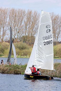
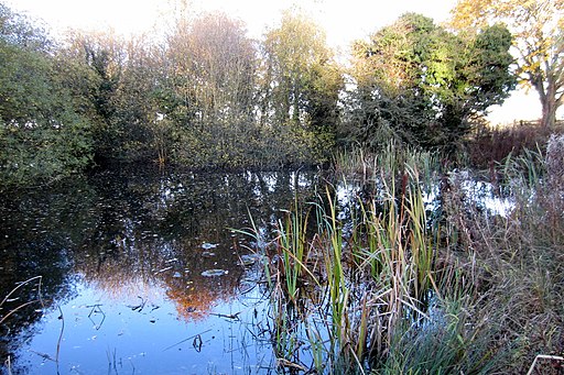
 Enjoy 200 acres of parkland and lakes in Milton Keynes on this short circular walk. Emberton contains over 5km of paths and trails winding their way around 5 lakes, through
wooded glades and meadows. The route below begins at the village of Emberton and takes you around Grebe Lake and Heron Water in the park.
The park contains a visitor information centre, picnic areas and a number of bird hides where you can spot the wide variety of water loving birdlife that vists the park.
Postcode
MK46 5FJ - Please note: Postcode may be approximate for some rural locationsPlease click here for more information
Emberton Country Park Ordnance Survey Map  - view and print off detailed OS map
Emberton Country Park Open Street Map  - view and print off detailed map
Emberton Country Park OS Map  - Mobile GPS OS Map with Location tracking
Emberton Country Park Open Street Map  - Mobile GPS Map with Location tracking
Pubs/Cafes
Head to the Grounds Cafe for some refreshments after your walk. They do good freshly made sandwiches and nice range of drinks. Head north into nearby Olney and there's a good range of pubs and cafes to. The Cherry Tree on the High Street does very good food and also has a nice outdoor seating area. You can find the pub at postcode MK46 4EB for your sat navs.
Dog Walking
The park is a lovely place for a dog walk but you are advised to please keep them on leads. The Grounds Cafe is dog friendly and even does a special ice cream for dogs!
Further Information and Other Local Ideas
Our Olney Circular Walk visits the park from the town. It also includes a nice riverside stretch along the River Great Ouse.
A few miles to the north of the park there's the historic Castle Ashby to visit. Here you'll find a fine manor house surrounded by 35 acres of parkland including Italian Gardens, an Orangery, an Arboretum and a series of pretty ponds.
On the eastern side of Milton Keynes there's Newport Pagnell to explore. There's some lovely riverside trails, a fine local park and several historic buildings to see in this nearby town. The town is well known for being the original home of the exclusive sports car manufacturer Aston Martin. There's also a Grade I listed iron bridge dating from the early 19th century to see here.
For more walking ideas in the area see the Buckinghamshire Walks page.


