Eyam Waterfall Walk

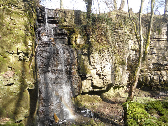
 This walk from Eyam visits the Swallet Waterfall just to the west of the village. It's a pleasant and secluded little spot and well worth a visit, particularly after wet weather.
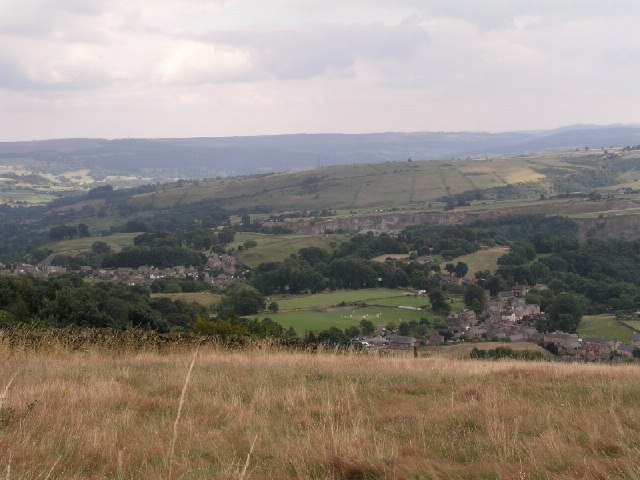
Start the walk in the village and then follow footpaths round to the Plague Stone just to the north east. You then head north west up to Bole Hill before heading west to follow a path just below Eyam Edge. The path will take you south west to the falls. It's a peaceful area with the 15 metre falls the 2nd highest in the Peak District. The falls are surrounded by woodland and moss covered rocks making it feel like a private and picturesque place.
After enjoying the falls the route returns to the village on the same paths. You could though head north west from the falls to visit Bretton or west into Foolow. From here you could turn it into a longer circular walk by following public footpaths east through the countryside.
Eyam Waterfall Walk Ordnance Survey Map  - view and print off detailed OS map
Eyam Waterfall Walk Open Street Map  - view and print off detailed map
Eyam Waterfall Walk OS Map  - Mobile GPS OS Map with Location tracking
Eyam Waterfall Walk Open Street Map  - Mobile GPS Map with Location tracking
Pubs/Cafes
Back in Eyam head to the The Miners Arms for some refreshments after your walk. The historic pub dates all the way back to 1630 and is located in the village centre. They do very good food and also have an outdoor area for finer weather. You can find the pub at postcode S32 5RG for your sat navs. They are also dog friendly if you have your canine friend with you.
Further Information and Other Local Ideas
To continue your walking in the area you could try the Eyam Walk which visits several of the interesting sites in the village. The Eyam Circular Walk climbs to Eyam Edge for fine views over the area.
For more walking ideas in the area see the White Peak Walks and Peak District Walks pages.


