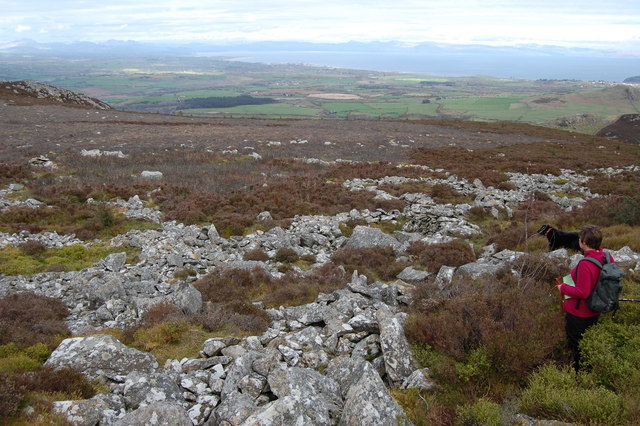
Garn Fadryn

 This walk climbs to the remote Iron Age Hillfort at Garn Fadryn in the Llyn Peninsula .
The walk starts on the southern side of the mountain where you can pick up footpaths heading up to the hill summit which stands at a height of 371 m (1,217 ft). From here you can enjoy wonderful views to Anglesey, Snowdonia, Cardigan Bay and, on a very clear day, the Wicklow Mountains in Ireland.
On the way you will also pass Garn Bach, which lies just to the east.
Garn Fadryn Ordnance Survey Map  - view and print off detailed OS map
Garn Fadryn Open Street Map  - view and print off detailed map
Garn Fadryn OS Map  - Mobile GPS OS Map with Location tracking
Garn Fadryn Open Street Map  - Mobile GPS Map with Location tracking
Further Information and Other Local Ideas
To continue your climbing in the peninsula head north to visit the parent peak of Yr Eifl and the hill fort at Tre'r Ceiri. The unusual landscape at the Trefor Quarry can also be visited near here.
The Garn Boduan Walk starts from nearby Nefyn. It will take you up to the viewpoint and Iron Age Hill fort located just south of the settlement.
For more walking ideas in the area see the Llyn Peninsula Walks page.


