Walks in Gateshead

 This major north east town has a number of good options for walkers with two significant waymarked trails running through the area. There's also several nearby woods, country parks and riverside trails along the Derwent and Tyne Rivers.
This walk takes you along the Tyne before visiting Watergate Forest Park and Derwent Walk Country Park. It uses two of the waymarked trails which run through the town in the shape of the Tyne and Wear Trail and the Derwent Valley Walk.
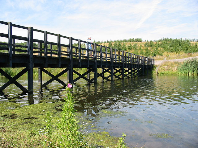
The walk starts next to the impressive Tyne Bridge which links Newcastle upon Tyne and Gateshead. From here you can pick up the Tyne and Wear Trail and follow it west past a series of bridges, to Dunston. Here you leave the river and head south to Watergate Forest Park. The popular park is located on the site of the former Watergate colliery. It includes woodland trails, a roman fort, a pretty lake and wildflower meadows.
After exploring the park the route heads west through Whickam to visit Derwent Walk Country Park. Here you'll find another lake, a mixture of woodland, meadows and wetland areas. You could also cross to the western side of the river and visit Thornley Woods where there's a sculpture trail and a visitor centre with lots of information about the area.
At the park you can pick up the Derwent Valley Walk and follow it north along the river to Damhead Wood. You could take a small detour here and head into Blaydon where you can visit the Shibdon Pond Nature Reserve.
This route heads east through Swalwell to rejoin with the Tyne and Wear trail near Dunston. You can then rejoin with the river and follow the path back to the start point.
Gateshead Ordnance Survey Map  - view and print off detailed OS map
Gateshead Open Street Map  - view and print off detailed map
Gateshead OS Map  - Mobile GPS OS Map with Location tracking
Gateshead Open Street Map  - Mobile GPS Map with Location tracking
Walks near Gateshead
- Hadrian's Wall Path - Starting in Wallsend near the east coast of England, head across the country to Bowness-on-Solway along this wonderful trail that follows the famous Roman wall
- Derwent Walk Country Park - The Derwent Walk is a former railway path running from Swalwell, near Gateshead, to Consett alongside the River Derwent and is suitable for walkers and cyclists
- Derwent Valley Walk - This lovely railway path runs from Swalwell, near Gateshead, to Consett alongside the River Derwent and is suitable for walkers and cyclists.
You will pass the villages of Rowlands Gill, Hamsterley and Ebchester on the way - Gibside Rowlands Gill - This splendid 18th century landscaped park has over 15 miles of footpaths taking you through gardens, meadows, fields and woodland
- Watergate Forest Park - The popular park is located on the site of the former Watergate colliery in Gateshead
- Bill Quay Farm - Bill Quay Community Farm has a collection of rare livestock including Tamworth pigs, Large Black pigs, three breeds of sheep (Jacob, Hebridean and Castlemilk Moorit), endangered Bagot goats, Pilgrim Geese and Scots Grey hens
- Saltwell Park - This beautiful park in Gateshead was voted Britain's Best Park in 2005
- Tyne Riverside Country Park - This park follows the River Tyne for four miles through 200 acres of meadows, chalk grassland, woodland and river bank
- Chopwell Woods - Enjoy miles of cycling and walking trails in this large forest near Gateshead
- Ovingham - These two neighbouring villages are located in a pleasant spot on the River Tyne in Northumberland.
- River Tyne Trail - This waymarked long distance trail runs from the coast at Tynemouth to the source of the Tyne at Tyne Head, just south of Garrigill in the North Pennines.
Pubs/Cafes
On the route there are good cafes at Watergate Forest Park and Thornley Woods. You can stop off here and enjoy a meal outside if the weather is good.
Dog Walking
The woodland and parks on the walk are all dog friendly so you're bound to bump into other dog walkers on the trails.
Further Information and Other Local Ideas
On the other side of the river you can link up with the Hadrian's Wall Path. If you follow the epic trail west it will take you to the Vindobala Roman Fort next to the wall. The Newcastle Walk shows the full details of this route.
Near Derwent Walk Park you could take a detour from the route and head south to visit Gibside at Rowlands Gill. There's a fine 18th century landscaped park to explore here.


