Gladhouse Reservoir

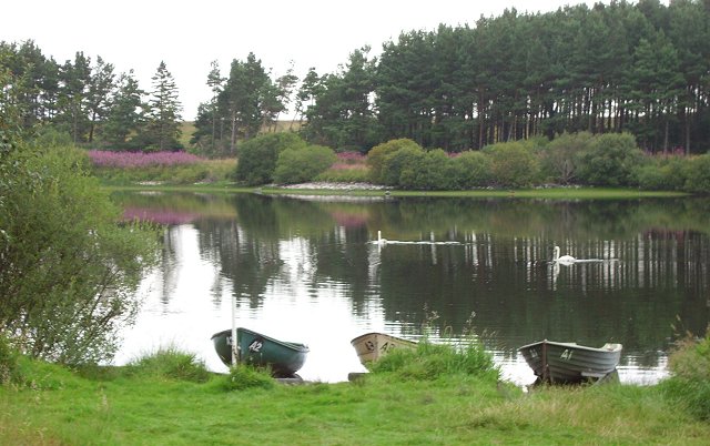
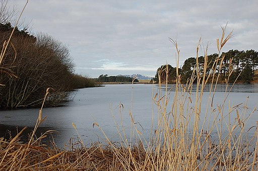
 Enjoy a circular walk around this pretty reservoir near Penicuik. The route runs for a distance of about 5 miles, following a series of country lanes and footpaths around the water. The large reservoir was built in the 1870s, and is a public water supply reservoir for Edinburgh. With an area of 168 hectares, it is the largest body of fresh water in the Lothians.
Start the walk from the roadside parking at the south western end of the reservoir. From here you can pick up country lanes to take you around the water.
Just to the north is Rosebery Reservoir which is another popular fishing spot in the Lammermuir Hills.
To continue your walking in the Pentland Hills head north to the Flotterstone visitor centre and try our circular walk around Glencorse Reservoir. Near here there's more nice waterside footpaths around Harlaw Reservoir and Threipmuir Reservoir.
Gladhouse Reservoir Ordnance Survey Map  - view and print off detailed OS map
Gladhouse Reservoir Open Street Map  - view and print off detailed map
Gladhouse Reservoir OS Map  - Mobile GPS OS Map with Location tracking
Gladhouse Reservoir Open Street Map  - Mobile GPS Map with Location tracking
Further Information and Other Local Ideas
A few miles to the south west you can continue your waterside walking around the lovely Portmore Loch. In nearby Peebles you can pick up the Tweed Valley Railway Path and enjoy a walk or cycle along this multi user path.
Head north towards Temple and there's a nice circular walk around Edgelaw Reservoir. Rosebery Reservoir is also located in this area.
For more walking ideas in the area see the Pentland Hills Walks page.


