Glyn Ceiriog Walks

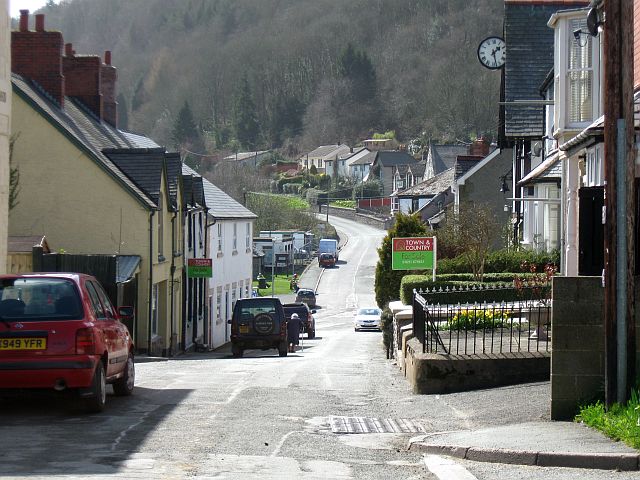
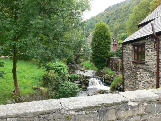
 This delightful riverside village is a great base for exploring the beautiful Ceiriog Valley in north-east Wales.
This circular walk from the village uses sections of the Upper Ceiriog Trail and the Llwybr Ceiriog Trail to explore the countryside and hills surrounding the settlement.
The walk starts in the village and heads west to pick up the Llwybr Ceiriog Trail. Follow the trails south and it will take you to Pandy where you can cross the River Ceiriog and enjoy views of the River Tierw.
You continue past Springhill Wood and Pen Y Gwely Hill before coming to the pretty Pen Y Gwely Reservoir. Near here you turn north to Llechrydrau, Bedwlwyn and Llwynmawr where you cross the river again. You continue past Pontadog before passing the Weather Station and Finger Farm. Just south of here you will return to the village.
Postcode
LL20 7EU - Please note: Postcode may be approximate for some rural locationsGlyn Ceiriog Ordnance Survey Map  - view and print off detailed OS map
Glyn Ceiriog Open Street Map  - view and print off detailed map
Glyn Ceiriog OS Map  - Mobile GPS OS Map with Location tracking
Glyn Ceiriog Open Street Map  - Mobile GPS Map with Location tracking
Walks near Glyn Ceiriog
- Chirk Castle - Explore the gardens an wider estate surrounding this 13th century castle in Wrexham.
- Pontcysyllte Aqueduct - Visit the longest and highest aqueduct in Britain and enjoy waterside walking along the Llangollen Canal on this lovely walk in Denbighshire
- Oswestry - This large market town near the Welsh border has some nice walking trails to try to the west
- Chirk to Llangollen Canal Walk - An easy waterside walk along a nice section of the Llangollen Canal from Chirk to Llangollen
- Llangollen Round - Explore the beautiful area around the town of Llangollen, in Denbighshire, on this circular walk, devised to raise funds for the Cancer Research UK charity
- Horseshoe Falls Llangollen - Enjoy a stroll along the River Dee to these lovely falls on this short walk in Denbighshire
- Llangollen Canal - Enjoy a waterside walk or cycle along the Llangollen Canal
- Upper Ceiriog Valley Walk - This is a circular cycling or walking trail through the countryside around Llanarmon Dyffryn Ceiriog near Wrexham.
- Llwybr Ceiriog Trail - A circular walk or cycle through the beautiful Ceiriog Valley
- Llanarmon Dyffryn Ceiriog - This pretty village is located in a wonderful rural spot in the beautiful Upper Ceiriog Valley near Wrexham
- Whittington - This Shropshire village near Oswestry has a historic moated castle and some fine canalside trails to try nearby
- Corwen - This Denbighshire based town is positioned in a lovely area with easy walks along the River Dee and more challenging climbs into the surrounding Berwyn Mountains
- Carrog - This Denbighshire village sits just to the east of Corwen in the beautiful valley of the River Dee.
- Nant Y Pandy - This walk takes you along the delightful Nant Y Pandy in the village of Glyndyfrdwy, Denbighshire.
Pubs/Cafes
Back in the village you can enjoy well earned refreshment at the Glyn Valley Hotel. They serve good quality pub grub and have rooms with idyllic views across the valley and river. Outside there's a lovely beer garden where you can relax on warmer days. You can find them on Llanarmon Road with a postcode of LL20 7EU for your sat navs.
Dog Walking
The country and woodland trails in the valley make for a fine dog walk. The Glyn Valley Hotel mentioned above is also dog friendly.
Further Information and Other Local Ideas
Just to the east of the trail you could visit the historic Chirk Castle.
There's also the Llanarmon Dyffryn Ceiriog Walk which uses sections of the upper trail to create an alternative circular walk through the area.
A few miles to the north east there's a major local highlight at the impressive Pontcysyllte Aqueduct.
To the north west are Carrog and Corwen where a number of long distance walking trails can be picked up.
Head west and you can pick up the Nant Y Pandy Walk. This will take you along the scenic little river to nearby Glyndyfrdwy.


