Goldhanger Walks - Sea Wall Walk

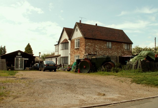
 This Essex based village has some lovely river and country trails to try. There's also a 14th century pub and a noteworthy Norman church to see in the village.
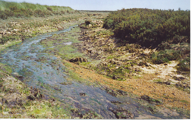
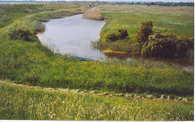
This circular walk from the village explores the Goldhanger Creek on the Blackwater Estuary. The area is great for bird watching so be sure to bring your binoculars with you.
The route starts in the village and then follows a footpath south down to the river where there's nice views over Goldhanger Creek to Osea Island. The sea wall footpath then heads east past Gore Saltings to Rolls Farm where you leave the river and turn north along Prentice Hall Lane. You could take a small detour here to visit the village of Tollesbury which lies just to the north east. This route follows a country trail west past Wycke Farm and Joyce's Farm to return to Goldhanger.
Postcode
CM9 8AS - Please note: Postcode may be approximate for some rural locationsPlease click here for more information
Goldhanger Ordnance Survey Map  - view and print off detailed OS map
Goldhanger Open Street Map  - view and print off detailed map
Goldhanger OS Map  - Mobile GPS OS Map with Location tracking
Goldhanger Open Street Map  - Mobile GPS Map with Location tracking
Pubs/Cafes
Back in the village head to the Chequers Inn for some post walk refreshment. The historic 14th century inn retains many of its original features and serves good quality traditional food. The attractive pub also includes a garden area to relax in on warmer days. You can find them at The Square, 1 Church St, CM9 8AS. Right next door is St Peter's Church which dates from the Norman period.
Dog Walking
The river and country trails make for a fine dog walk and the Chequers mentioned above is also dog friendly.
Further Information and Other Local Ideas
Head west along the river and you could pick up the Maldon Walk. On the walk you'll enjoy nice views of the River Chelmer, the Chelmer and Blackwater Navigation Canal, Beeleigh Abbey, Heybridge Basin and the River Blackwater.
For more walking ideas in the area see the Essex Walks page.


