Headley Heath Walks

 Enjoy cycling and walking trails in this large area of open heathland, woodland and chalk downland in the Surrey Hills.
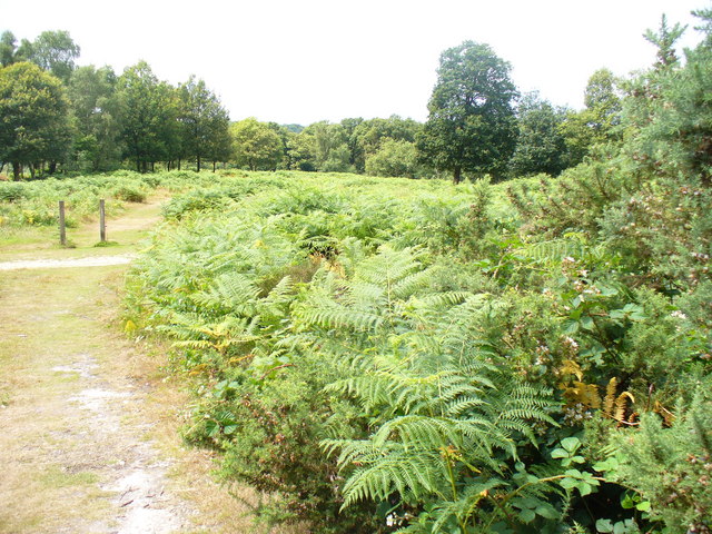
The heathland is very attractive with yellow gorse, bluebell woods and purple heathers in the warmer months. It's great for wildlife too. Look out for badgers, deer and birds such as stonechats, linnets, meadow pipits and woodlarks. It's a great area to visit from London as it's only a short distance from the capital.
This circular route starts at the car park and takes you around the edge of the common on good bridleways. There are other trails to try such as the butterfly walk where you could see 25 species of butterfly. There's also the Lizard Trail which visits ponds with newts, frogs and many different water plants.
If you'd like to continue your exercise then you could head to the nearby Box Hill Country Park.
Postcode
KT18 6NN - Please note: Postcode may be approximate for some rural locationsPlease click here for more information
Headley Heath Ordnance Survey Map  - view and print off detailed OS map
Headley Heath Open Street Map  - view and print off detailed map
Headley Heath OS Map  - Mobile GPS OS Map with Location tracking
Headley Heath Open Street Map  - Mobile GPS Map with Location tracking
Pubs/Cafes
Head north into Headley village and you can enjoy some post walk refreshment at the Cock Inn. The award winning pub offers seasonal, locally sourced food and drink in a contemporary, authentic pub environment. You can find them on Church Lane at postcode KT18 6LE for your sat navs.
There's also a burger van in the main car park if you prefer. In this area there are also views of the cricket field.
Dog Walking
The heath is a popular place for dog walkers so you'll likely bump into other owners on your walk. The Cock Inn mentioned above is also dog friendly.
Further Information and Other Local Ideas
Just south of the heath you can pick up the North Downs Way. The long distance waymarked footpath could be followed west to visit the expansive woodland on Ranmore Common or east to the excellent viewpoint on Colley Hill.


