Circular Walk around Helensburgh

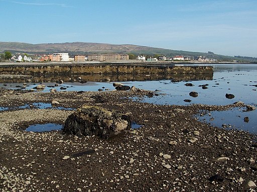
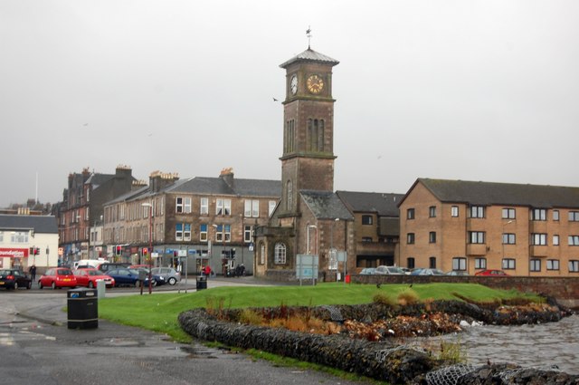
 This popular town sits on the Firth of Clyde, in Argyll and Bute, near Loch Lomond.
The town is located on the edge of the Loch Lomond and the Trossachs National Park where there are numerous lochside paths and wonderful hill climbs to enjoy. There's also long distance trails such as the Three Lochs Way and the West Highland Way running through the area.
This figure of eight walk explores the surrounding area using sections of the Three Lochs Way and John Muir Way long distance footpaths.
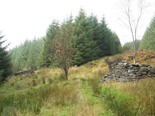
On the eastern section you'll climb to the forestry around Ben Bowie and visit Craigendoran.
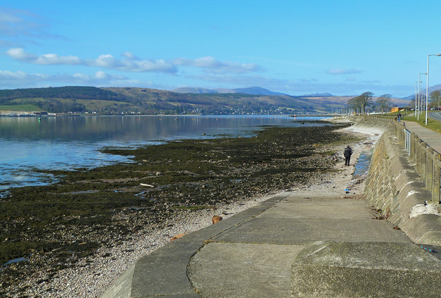
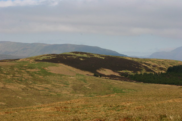
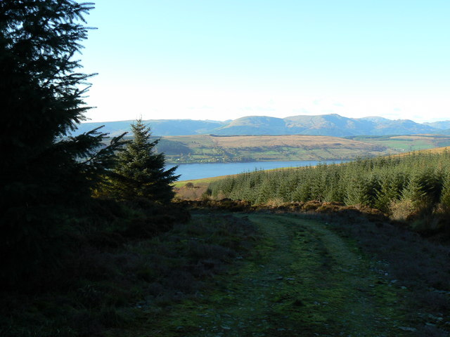
On the western loop there's a climb to Highlandman's Wood and the lovely Glenarn Gardens where there's some beautiful specimens to admire. From the high points there are some wonderful views over Gare Loch and the Firth of Clyde to the surrounding hills and mountains.
For more information on the history, climate, local attractions and transport links see the informative wikipedia page.
Postcode
- Please note: Postcode may be approximate for some rural locationsHelensburgh Ordnance Survey Map  - view and print off detailed OS map
Helensburgh Open Street Map  - view and print off detailed map
Helensburgh OS Map  - Mobile GPS OS Map with Location tracking
Helensburgh Open Street Map  - Mobile GPS Map with Location tracking
Walks near Helensburgh
- Balloch Castle Country Park - Enjoy spectacular views of Loch Lomond in this beautiful country park in West Scotland
- The Cobbler Mountain - The Cobbler or Ben Arthur is one of the most popular climbs in the highlands
- Ben Lomond - Climb one of Scotland's most popular munros on this challenging walk in the Loch Lomond and the Trossachs National Park
- Beinn Dubh - This is a lovely walk to try if you are visiting the pretty Luss Village in the Loch Lomond and the Trossachs National Park
- Luss Village - Enjoy an easy circular walk around this delightful conservation village on the western shore of Loch Lomond
- Loch Long - This circular walk follows two delightful waymarked trails on the western side of Loch Long at Ardentinny in the Loch Lomond and the Trossachs National Park.
The walk starts in the pretty little village of Ardentinny on the western shores of the expansive loch - Inchcailloch Island - Follow the lovely nature trail around this picturesque small island on Loch Lomond
- Balmaha Forest - This walk takes you along Loch Lomond, through woodland to Craigie Fort
- Conic Hill - This popular climb to Conic Hill gives wonderful views over Loch Lomond
- Duncryne Hill - This short climb takes you to the top of Duncryne hill near Gartocharn in the Loch Lomond and the Trossachs National Park
- Three Lochs Way - This super route is suitable for both walkers and mountain bikers
- West Highland Way - This is a fabulous long distance walking and cycling* route from Milngavie, north of Glasgow, to Fort William in the Scottish Highlands.
- Lochgoilhead and Loch Goil - The expansive Loch Goil is located within the Loch Lomond and the Trossachs National Park on the Cowal peninsula in Argyll and Bute
- Balmaha to Milarrochy Bay and Rowardennan - This walk follows a popular section of the West Highland Way from Balmaha to Rowardennan via Milarrochy Bay
Pubs/Cafes
The Commodore is a nice choice for some post exercise relaxation and refreshment. The main draw is a great outdoor seating area with views over the Firth of Clyde. They also serve good quality food and have a fine selection of drinks. You can find them at 112-117 W Clyde St, G84 8ES.
Dog Walking
The woodland and country trails make for a good walk for fit dogs. The Commodore mentioned above is also very dog friendly with water and treats available for your four legged friend.
