Ilfracombe to Lee Bay Circular Walk

 This route visits the lovely Lee Bay from Ilfracombe on the North Devon coast.
It uses part of the South West Coast Path and the Ilfracombe to Ossaborough Railway Path to create a circular walk which visits the coast, woodland and countryside around the two settlements. It's about a 9 mile walk though it's only about 3 miles to Lee Bay if you just want to do the opening coastal section.
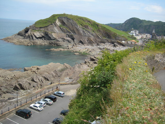
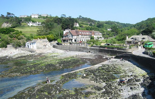
The walk starts on the front at Ilfracombe and follows the coastal path west passing Capstone Point, Torrs Point, Brandy Cove Point, Whitestone Field Point, Freshwater Bay and Ulfred Point before arriving at Lee Bay. You'll find a little village near here and a beach with a very gentle slope. You can walk further along this lovely area when the tide goes out as an expanse of sand emerges from among the rocks. You can follow a way through the cliffs westwards round to a large shingle beach called Sandy Cove or Bath Beach. This beach is also accessible from the coastal path via a National Trust maintained path and staircase down the cliff face. It's a stunning area which currently includes the old derelict Lee Bay Hotel.
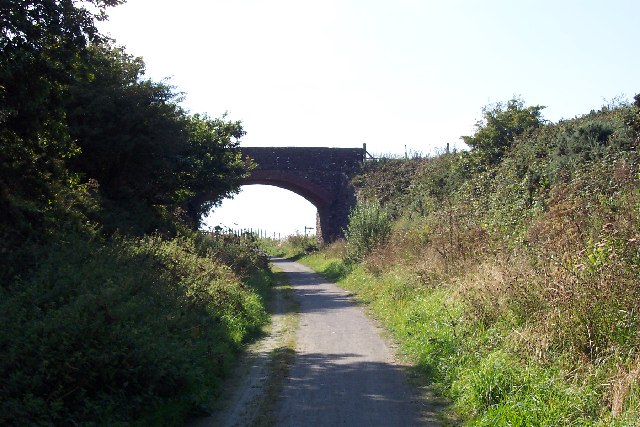
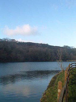
The route then leaves the coast to head south through the Borough Valley where you can enjoy some nice woodland trails around Six Acre Wood. You then leave the woods and head along country lanes to link up with the Ilfracombe to Ossaborough Railway Path. This shared cycling and walking trail runs along a dismantled railway line between the two settlements. You can follow the trail north east to Bickenbridge and Higher Campscott before coming to the pretty Slade Reservoirs. Shortly after passing the reservoirs there's a woodland section around Lower Slade before you make your way back through Ilfracombe town to the coast.
Ilfracombe to Lee Bay Walk Ordnance Survey Map  - view and print off detailed OS map
Ilfracombe to Lee Bay Walk Open Street Map  - view and print off detailed map
Ilfracombe to Lee Bay Walk OS Map  - Mobile GPS OS Map with Location tracking
Ilfracombe to Lee Bay Walk Open Street Map  - Mobile GPS Map with Location tracking
Pubs/Cafes
Head to the George & Dragon for some refreshments after your walk. It's the oldest pub in Ilfracombe, dating all the way back to 1360. Inside there's a cosy interior with wooden beams and large fireplaces. It's located near the harbour on Fore Street at postcode EX34 9ED for your sat navs. The pub is also dog friendly if you have your canine friend with you.
Further Information and Other Local Ideas
The Ilfracombe to Woolacombe Coastal Walk continues west along the coast path to visit the popular town via Bull Point and Morte Point. Here you can also pick up the Mortehoe Circular Walk to explore the area around the photogenic headland.
From Ilfracombe you can catch a boat to the beautiful Lundy Island. The island is owned by the National Trust and has some splendid coastal walking trails. It's also a nature reserve with lots of wildlife to see, including the famous Lundy puffins.
For more walking ideas in the area see the Exmoor Walks and North Devon Coast Walks pages.


