Jubilee Trail Dorset

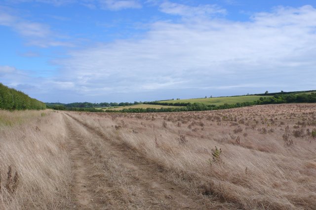
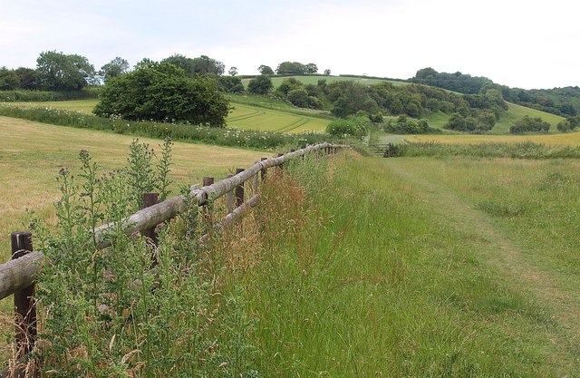
 This walk crosses from one side of Dorset to the other, taking you on a tour of some of the county's best scenery and prettiest villages. The Trail runs from Forde Abbey on the Somerset border in the west, across Dorset to Bokerley Dyke on the Hampshire border. You will pass through Winterborne Abbas, Upwey, West Knighton, Crossways, Moreton, Bere Regis, Milton Abbas, Winterborne Stickland, Durweston, Stourpaine, Pimperne, Tarrant Gunville, Chettle and Cranborne.
Route highlights include the lovely Sculpture by the Lakes near Dorchester and Mapperton House in Beaminster. On the border with Hampshire you will find the delightful Martin Down Nature Reserve which has a variety of lovely flora and fauna.
Jubilee Trail Ordnance Survey Map  - view and print off detailed OS map
Jubilee Trail Open Street Map  - view and print off detailed map
Jubilee Trail OS Map  - Mobile GPS OS Map with Location tracking
Jubilee Trail Open Street Map  - Mobile GPS Map with Location tracking
Pubs/Cafes
On the route we recommend popping into the White Horse Inn in Stourpaine for some refreshments. It's a quaint pub of some note, dating back to the early 18th Century. Today, the inside provides an open-plan layout with a bar, restaurant, shop, post office, games room, wood burning stoves & an open fire. The external provides a covered outdoor decking area at the rear and a seating area out the front for warm summer days. There's also a village shop within the pub with a deli counter which sells a variety of delicious, fresh products. You can find the pub in the village at postcode DT11 8TA for your sat navs.
In Bere Regis, there's the Royal Oak to consider. The historic pub dates all the way back to the 16th century when it was originally a coaching inn. They serve good quality food and have a nice garden area for warmer weather too. You can find them on West Street with a postcode of BH20 7HQ for your sat navs.


