Worth Way Keighley Walk

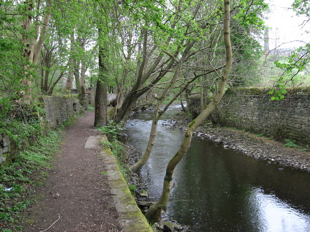
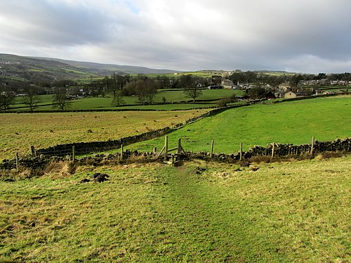
 This circular walk from the West Yorkshire town of Keighley makes use of the waymarked Worth Way to visit nearby Haworth and Penistone Hill Country Park. The route runs for just over 11 miles, with some moderate hill climbs along the way. Highlights on the route include riverside sections along the River Worth, views of the Keighley & Worth Valley Heritage Railway and some beautiful West Yorkshire countryside views from the high points.
You can start the walk from Keighley train station which is located right next to the river and the start of the Worth Way. Follow the waymarked footpath south west along the river towards Ingrow. You continue through the town, past Damens, Harewood Hill, Cackleshaw, Oakworth and Mytholmes before coming into Haworth.
After exploring the town you continue south west and soon come to Penistone Hill Country Park. It's a popular place for walkers with a fairly large hill to climb and fine views over the surrounding hills and reservoirs.
After exploring the park, head back into Haworth before turning south along the Bridgehouse Beck towards Oxenhope. You then turn north east along Brow Moor, passing Cliffe Hill and Cullingworth Moor on the way. The route continues north through the countryside, before passing Woodhouse and returning to the train station.
Keighley Ordnance Survey Map  - view and print off detailed OS map
Keighley Open Street Map  - view and print off detailed map
Keighley OS Map  - Mobile GPS OS Map with Location tracking
Keighley Open Street Map  - Mobile GPS Map with Location tracking
Pubs/Cafes
The Dickie Bird is a good option in fine weather as it has a large garden area to sit out in. They do good food and have a decent selection of drinks too. You can find the pub on Thwaites Brow Rd, at a postcode of BD21 4SQ for your sat navs.
Dog Walking
The area is great for dog walking but there are some hill climbs on the route so you and your pet need to be reasonably fit. The Dickie Bird pub mentioned above is also dog friendly with a safe enclosed dog area.
Further Information and Other Local Ideas
The Keighley & Worth Valley Railway is one of the area's must see attractions for railway buffs. The heritage railway runs from Keighley to Oxenhope through the lovely Worth Valley on some classic old steam trains.
The Bronte Way can be picked up in Haworth or Oxenhope. This waymarked trail can be used to visit the Leeming and Thornton Moor Reservoirs.
You can pick up the Bradford Millennium Way to the north west of the town and visit Keighley Moor Reservoir on Oakworth Moor.
To the north of the town two nice waterside trails can be picked up in the shape of the River Aire Walk and the towpath of the Leeds and Liverpool Canal. In Haworth you can also pick up the popular Haworth-Hebden Bridge Walk or visit the Bronte Waterfall on the Haworth Moor Circular Walk.
A few miles to the north west there's Sutton in Craven where you can enjoy a climb to Lund's Tower and Wainman's Pinnacle. Known locally as the Salt and Pepper Pots there's fine views over the area from the elevated position of the monuments.


