Kirkbymoorside Walks

 This market town is located in a lovely spot on the edge of the North York Moors in Ryedale.
It's well known for its Wednesday market which dates all the way back to the 13th century. In the town there's cobbled streets, interesting old cottages and a Saxon church. For walkers there's some fine traills to follow through the countryside and woodland surrounding the town.
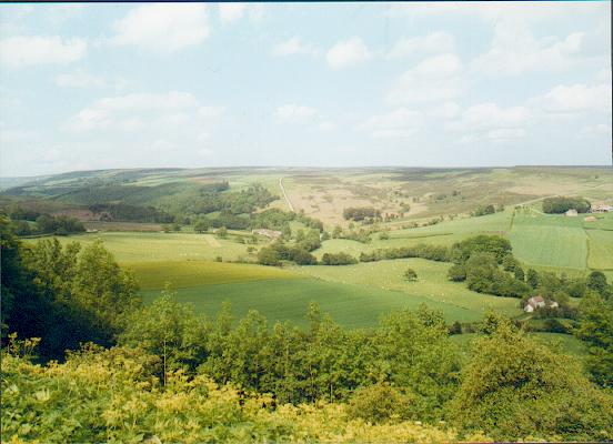
This circular walk from the town visits the Manor Vale Woodland Nature Reserve and the village of Gillamoor. Here you can enjoy a climb to Suprise View and enjoy marvellous views over the countryside of the North York Moors.
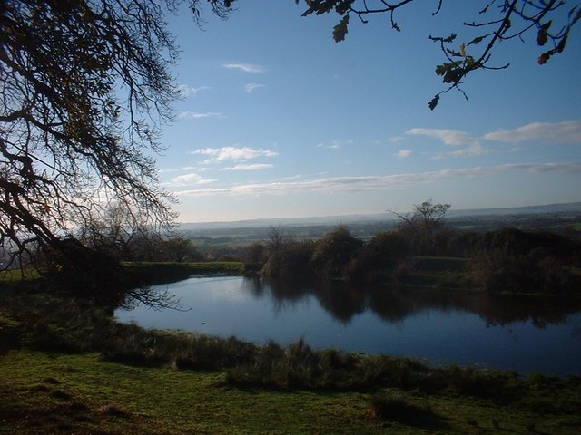
Start the walk in the centre of town and then head north to visit the Manor Vale Woodland Nature Reserve. This Y-shaped dry valley is cut into the Jurassic strata of the Tabular Hills. At the site you'll find semi-natural ash woodland and an abundance of interesting flora and fauna. There's also some nice views of the River Dove which runs through the area.
The route continues north along the golf course to High Park Farm and Cockpit Hall. You then follow Woodhead Field Lane into Gillamoor. In the little village you'll find 'Suprise View' where you can enjoy splendid views over Farndale. Nearby there's also an interesting little church which was rebuilt single-handedly in 1802 by James Smith of Farndale.
After enjoying the view, the route then descends to Bluegate Hill and Hagg Wood. Here you follow Shepherd's Road through Douthwaite Dale and along the River Dove, before some more woodland trails take you to Low Park Farm. From here you can follow Park Lane back into Kirkbymoorside, passing the ruins of the old castle as you go. Here you could take a slight detour from the route to visit Wawney Wood and Vivers Hill where there are some nice views.
Kirkbymoorside Ordnance Survey Map  - view and print off detailed OS map
Kirkbymoorside Open Street Map  - view and print off detailed map
Kirkbymoorside OS Map  - Mobile GPS OS Map with Location tracking
Kirkbymoorside Open Street Map  - Mobile GPS Map with Location tracking
Pubs/Cafes
In the town you can visit the The George & Dragon for some post walk refreshments. The classic English pub does good food and also provides accommodation if you need to stay over. There's a cosy interior and some outdoor seating if the weather is good. You can find the inn at the Market Place at postcode YO62 6AA for your sat navs.
There's also the timbered Black Swan Inn, dating from c. 1632. The historic pub was originally a coaching inn and can be found at postcode YO62 6AA.
Dog Walking
The country and woodland trails on the route are ideal for a dog walk. The George & Dragon inn mentioned above also welcomes dogs and has a dog friendly room to stay over in. The nearby Cropton Forest is another great option with miles of wide trails for you and your pet.
Further Information and Other Local Ideas
To continue your walking in the area you could try the Hutton-le-Hole Walk. This includes views of the pretty Hutton Beck and a visit to the excellent Ryedale Folk Museum. You can also pick up the long distance Tabular Hills Walk here. This will take you to Levisham and the Hole of Horcum which is another of the major highlights of the area. Adjacent to Hutton-le-Hole is the worthy village of Lastingham where you can pick up the circular Lastingham Walk and climb across Spaunton Moor to the Ana Cross viewpoint. You can also visit the noteworthy 11th century church and a fine 18th century local pub in this picturesque village.
Head north and in the spring months you can enjoy the popular Farndale Daffodil Walk.
To the west of the town there's the Helmsley Circular Walk and the splendid Rievaulx Abbey. Duncombe Park is also located in this area and another lovely place for walking.
To the east there's neighbouring Appleton Le Moors. It's another quaint place with a notable Grade I listed church and an excellent pub dating to the 17th century. There's also some lovely walks along the scenic River Seven to Sinnington to enjoy here.
For more walks in the area see the North York Moors Walks page.


