Leintwardine Walks

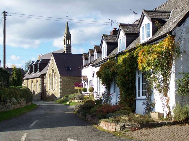
 This small village in North Herefordshire sits in a pleasant rural location close to the Shropshire border. There's some nice trails along the two local rivers and some interesting historical sites in this former Roman settlement.
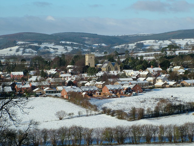
This circular walk takes you along the river Clun to Jay Bridge, to the west of the village. It then follows country lanes through the surrounding countryside before passing through the village and paying a visit to the River Teme. On the way you'll visit the point where the two rivers converge and enjoy views of the historic Leintwardine Bridge which dates from the 18th century and spans the Teme. There's also a climb to Church Hill where you can enjoy fine views over the village and surrounding countryside.
Postcode
SY7 0LP - Please note: Postcode may be approximate for some rural locationsLeintwardine Ordnance Survey Map  - view and print off detailed OS map
Leintwardine Open Street Map  - view and print off detailed map
Leintwardine OS Map  - Mobile GPS OS Map with Location tracking
Leintwardine Open Street Map  - Mobile GPS Map with Location tracking
Walks near Leintwardine
- Circular Walk around Ludlow - Visit Ludlow Castle, Whitcliffe Common and the River Teme on this walk around one of England's most attractive towns.
The walk starts at the imposing Ludlow Castle, just a short distance from the train station - Mortimer Forest - Enjoy walking and cycling trails in this large area of woodland near Ludlow
- Shropshire Way - This walk takes you through some of the most beautiful countryside in Shropshire
- Mortimer Trail - This exceptionally lovely walk takes you through the beautiful Shropshire and Herefordshire countryside, from Ludlow to Kington.
The walk begins at the splendid, medieval Ludlow Castle in Shropshire and heads towards Aymestrey, crossing the River Teme before passing through Mortimer Forest, Haye Park Wood and Deer Park - High Vinnalls - Climb to this wonderful viewpoint on this circular walk in Mortimer Forest in Ludlow
- Croft Ambrey - Climb to this Iron Age Hill Fort and enjoy great views over the Herefordshire countryside on this circular walk
- Shobdon - This short circular walk takes you around the pretty Herefordshire village of Shobdon.
- Croft Castle - This walk explores the grounds and gardens of the National Trust's Croft Castle near Leominster and Ludlow in Herefordshire.
- Downton Gorge - This circular walk visits the lovely Downton Gorge from the village of Downton on the Rock in Herefordshire
- Black and White Village Trail - This splendid circular walking trail visits a series of lovely Herefordshire towns and villages.
- Presteigne - This town in Powys sits in a pleasant location on the River Lugg, next to the border with England
- Knighton - This border town in Powys is surrounded by the gorgeous countryside of the River Teme valley
- Knucklas Viaduct - This walk visits the Knucklas Viaduct near the village of Knucklas in Powys, Wales.
Pubs/Cafes
The Sun Inn is a good choice for post walk refreshments. The Grade II listed pub is over 200 years old and includes a fine garden area for warmer days. You can find them on Rosemary Lane at postcode SY7 0LP for your sat navs.
There's also The Lion which serves high quality dishes from the restaurant. It's located close to the river with views of the old bridge, the Teme and the Welsh Marches from the wonderful lawned garden. You can find them at postcode SY7 0JZ.
Dog Walking
The river and country trails make for a fine dog walk. The two pubs mentioned above are also dog friendly though the Lion only allows dogs in the top bar.
Further Information and Other Local Ideas
Head east from the settlement and you could pick up the Circular Walk around Ludlow. There's more waterside trails along the Teme here, as well as a visit to the 11th century Ludlow Castle and Whitcliffe Common.
Head south east of the village and you could visit something of a hidden gem at Downton Gorge. The limestone gorge is located on the River Teme and contains some nice woodland trails with interesting rock formations and a variety of flora and fauna.
For more walking ideas in the area see the Herefordshire Walks page.


