Little Budworth Country Park

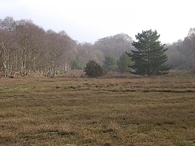
 Explore woodland, lowland heath, ponds and boggy mires in this country park near Winsford.
You can follow the Heathland Trail waymarked walk around the park which is mostly flat. The walk also takes you on to Oulton Park which has a large lake, Oulton Hall and Oulton racing track. You can continue your waterside walking by heading east into Winsford where there are more lakes and the River Weaver Way.
Little Budworth Country Park Ordnance Survey Map  - view and print off detailed OS map
Little Budworth Country Park Open Street Map  - view and print off detailed map
Little Budworth Country Park OS Map  - Mobile GPS OS Map with Location tracking
Little Budworth Country Park Open Street Map  - Mobile GPS Map with Location tracking
Further Information and Other Local Ideas
To continue your walking in the area you could head to the nearby village of Tarporley. The circular walk from the village visits some of the highlights of the area including Beeston Castle, the Shropshire Union Canal and the Sandstone Trail.
Head a couple of miles north of the park and you could pick up the popular Whitegate Way. The shared cycling and walking trail follows a disused railway line north from Winsford to Cuddington. A car park and the old station can be found at the Winsford end.
For more walking ideas in the area see the Cheshire Walks page.


