Loch Ken Walk

 This walk explores the RSPB Ken-Dee Marshes Nature Reserve on Loch Ken in Dumfries and Galloway.
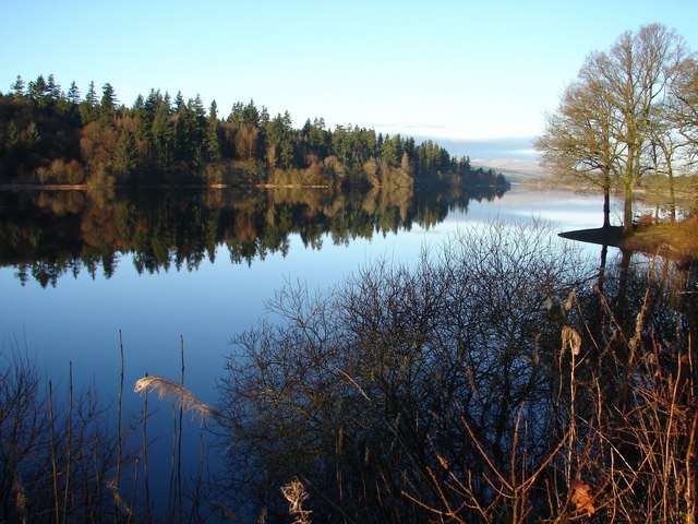
You can start the walk from the car park at the Mains of Duchrae. It's located a few miles north west of Castle Dougles. From the parking area you can pick up the Ken-Dee Trail which runs north along the loch, passing Orchard Wood and Drumglass Strip on the way. There's fine views across the water and a bird hide where you can look out for a variety of water loving birds. Red Kites and redstarts are also visitors to the area.
Postcode
DG7 2LY - Please note: Postcode may be approximate for some rural locationsPlease click here for more information
Loch Ken Ordnance Survey Map  - view and print off detailed OS map
Loch Ken Open Street Map  - view and print off detailed map
Loch Ken OS Map  - Mobile GPS OS Map with Location tracking
Loch Ken Open Street Map  - Mobile GPS Map with Location tracking
Further Information and Other Local Ideas
Just to the west you'll find the expansive Galloway Forest Park where there are miles of walking and cycling trails to try.
To the north west there's more lochside trails at Loch Doon where there's also an historic 14th century castle. Near Loch Doon there's also Loch Bradan, Loch Skelloch and the pretty Water of Girvan to explore.
Also to the north west there's the expansive Clatteringshaws Loch. The freshwater reservoir includes the historic Bruce's Stone and a visitor centre. A shared cycling and walking trail heads south from here to the nearby Loch Grannoch and the Big Water of Fleet Viaduct. The viaduct is a local historic highlight and provides wonderful views over the area from the top. You can also explore the wonderful wild landscape of the Cairnsmore of Fleet National Nature Reserve in this area.
The epic Southern Upland Way can be picked up at Clatteringshaws and followed west to visit Loch Trool as well. Here you can enjoy a popular circular walk around the loch where you'll pass the site of the Battle of Glen Trool in 1307.
A few miles to the east there's the picturesque Loch Arthur to visit. The community includes a farm, a large garden, a creamery, a bakery, craft workshops and a thriving farm shop and cafe.


