Loch Sloy Dam Walk

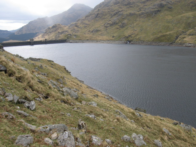
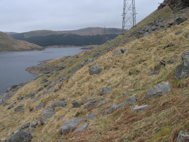
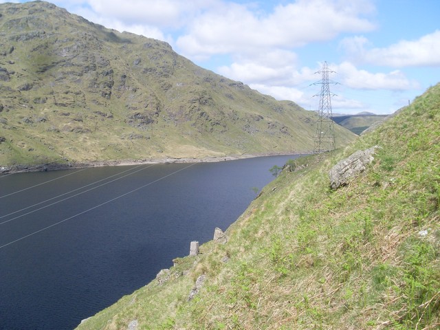
 This walk visits the photogenic Loch Sloy Dam at the southern end of Loch Sloy.
The scenic loch is located in the in Loch Lomond and the Trossachs National Park just east of Loch Lomond. You can enjoy a walk across the impressive dam and enjoy fine views down to the loch from your elevated position. The walk can be extended by climbing to the popular viewpoint at Ben Vorlich just to the east of the loch.
To the south east area includes the Sloy/Awe Hydro-Electric Scheme. The facility is operated by Scottish and Southern Energy, and is normally in standby mode, ready to generate electricity to meet sudden peaks in demand.
Loch Sloy Ordnance Survey Map  - view and print off detailed OS map
Loch Sloy Open Street Map  - view and print off detailed map
Loch Sloy OS Map  - Mobile GPS OS Map with Location tracking
Loch Sloy Open Street Map  - Mobile GPS Map with Location tracking
Further Information and Other Local Ideas
Just to the south you can continue your waterside walking along the beautiful Loch Long near Arrochar. The long distance Three Lochs Way also runs through the area.
For more walking ideas in the area see the Loch Lomond and the Trossachs Walks page.


