Longparish Walks

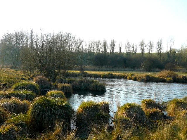
 This delightful village is located on the River Test in Hampshire. There's picturesque thatched cottages, old mills, weirs, pretty lakes and a fine old pub to visit here.
This walk from the village takes you along a section of the Test Way to Harewood Forest, Wherwell and Chilbolton.
The walk starts in the village and heads south west to neighbouring Middleton where you can pick up the Test Way and follow the waymarked footpath along the river to Forton.
At Gavelacre you leave the river to head into the expansive Harewood Forest where there are miles of peaceful woodland trails to explore. The trail heads through the forest before coming to Wherwell.
The route then crosses the river to head south into Chilbolton. Here you'll find the picturesque Chilbolton Common where there are some pretty old thatch cottages to see.
Postcode
SP11 6PZ - Please note: Postcode may be approximate for some rural locationsLongparish Ordnance Survey Map  - view and print off detailed OS map
Longparish Open Street Map  - view and print off detailed map
Longparish OS Map  - Mobile GPS OS Map with Location tracking
Longparish Open Street Map  - Mobile GPS Map with Location tracking
Walks near Longparish
- Test Way - Travel through the Test Valley on this 45 mile walk through Hampshire and Berkshire.
The route starts Eling Tide Mile near Totton heading north towards the Lower Test Nature Reserve and Romsey along the river - Harewood Forest - This large forest near Andover has miles of woodland walking trails to try
- Chilbolton - A nice little walk from the pretty Hampshire village of Chilbolton
- Danebury Hill Fort - Climb to Danebury Hill Fort and Danebury Down on this short walk in Hampshire
- Andover - This walk takes you around the Hampshire Town of Andover
- Stockbridge - This small Hampshire town is beautifully positioned with riverside walks, nature reserves, woodland and hill climbs to enjoy
- St Mary Bourne - This Hampshire based village is located near Andover and Whitchurch in the valley of the Bourne Rivulet, a tributary of the River Test
- Whitchurch Hampshire - This delightful Hampshire village sits in an idyllic location on the River Test
Pubs/Cafes
The Cricketers is a good choice for post walk refreshment. The attractive former coaching inn is in a nice location close to the river. They serve good quality, homemade food which you can enjoy in the lovely garden area. You can find them at postcode SP11 6PZ for your sat navs.
Dog Walking
The river, country and woodland trails make for a fine dog walk. The Cricketers pub mentioned above is also dog friendly.
Further Information and Other Local Ideas
Continue south west fromalong the Test Way and you could visit Stockbridge. Near here you can enjoy a climb to Danebury Hill Fort for great views over the area.
For more walking ideas in the area see the Hampshire Walks page.


