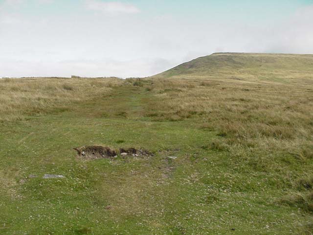
Lord Hereford's Knob (Twmpa)

 This is a short climb to Lord Hereford's Knob or Twmpa in the Black Mountains. The scenery is stunning with magnificent views over the Brecon Beacons National Park on one side and the Herefordshire countryside on the other.
You can park at the Gospel Pass car park about 1 mile to the east of the hill. From here you can pick up the footpath to the 690 m (2,260 ft) summit.
Like the nearby Hay Bluff the entire hill is designated as open country so walkers have the freedom to roam at will.
You could start the walk from Hay on Wye if you prefer. Just follow the Offa's Dyke Path south to the Hay-on-Bluff car park and stone circle. Then follow country lanes or other footpaths to Twmpa.
Postcode
NP7 7NP - Please note: Postcode may be approximate for some rural locationsLord Hereford's Knob (Twmpa) Ordnance Survey Map  - view and print off detailed OS map
Lord Hereford's Knob (Twmpa) Open Street Map  - view and print off detailed map
Lord Hereford's Knob (Twmpa) OS Map  - Mobile GPS OS Map with Location tracking
Lord Hereford's Knob (Twmpa) Open Street Map  - Mobile GPS Map with Location tracking
Explore the Area with Google Street View 
Further Information and Other Local Ideas
The Gospel Pass cycle route runs past the car park. It runs along the highest road pass in Wales from Hay on Wye to the nearby Llanthony Priory.
Head a few miles east and you could pick up the circular Cat's Back Walk for another popular local climb. The wonderful knife edge ridge walk is located just to the south east of the hill at Black Hill. The route provides great views into England on one side, and Wales on the other. There's a handy car park just south of the ridge or you could start from the pretty little village of Michaelchurch Escley where there's a nice riverside pub to visit.
The epic Cambrian Way passes over the mountain. The long distance waymarked route starts from the city of Cardiff and runs for nearly 300 miles through the Brecon Beacons, the Cambrian Mountains and Snowdonia before finishing on the North Wales coast at Conwy.
For more walking ideas in the area see the Brecon Beacons Walks and Black Mountains Walks pages.


