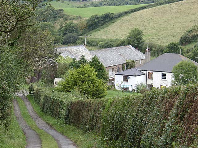
Marhamchurch to Bude Canal Walk
5 miles (8 km)

 This pretty village in North Cornwall is located near the coast in the Bude area.
This circular walk from the village takes you along the Bude Canal to neighbouring Bude before returning on a shared cycle path. Along the way there's pleasant waterside paths and some lovely views of the River Neet valley countryside. You could extend the walk by heading west to pick up the Bude to Widemouth Bay Walk and enjoy a lovely coastal walk along the South West Coast Path.
Marhamchurch Ordnance Survey Map  - view and print off detailed OS map
Marhamchurch Open Street Map  - view and print off detailed map
Marhamchurch OS Map  - Mobile GPS OS Map with Location tracking
Marhamchurch Open Street Map  - Mobile GPS Map with Location tracking
Walks near Marhamchurch
- Bude Canal - Enjoy an easy stroll along the Bude Canal on this fine circular walk in Cornwall
- Bude Marshes - This delightful local nature reserve in Bude is a great escape from the busy seaside town centre
- Bude to Widemouth Bay Walk - This coastal walk uses a lovely section of the South West Coast Path to take you from Bude to the beautiful Widemouth Bay
- South West Coast Path - This incredible 600 mile walk follows the coast from Minehead in Somerset, through Devon and Cornwall and onto the finish point at Poole in Dorset
- Morwenstow - This walk explores the National Trust's Morwenstow on the Cornish coast near Bude.
- Crackington Haven - This circular walk explores the area around the village of Crackington Haven on the Cornish coast.
- Bude to Sandymouth Circular Walk - This circular walk on the Cornish coast takes you to Northcott Mouth and Sandymouth from popular the town of Bude.
- Boscastle to Crackington Haven Walk - This walk follows a section of the South West Coast Path from Boscastle to Crackington Haven Walk, on the Cornish coast


