Michaelchurch Escley Walks

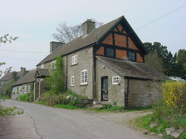
 This little Herefordshire village is located on the eastern side of the Brecon Beacons, in the Black Mountains region. It's a nice place to start a walk with some significant hills to climb to the west. The village itself is also very pretty with a little brook running through it and a fine local pub for refreshments after your exercise.
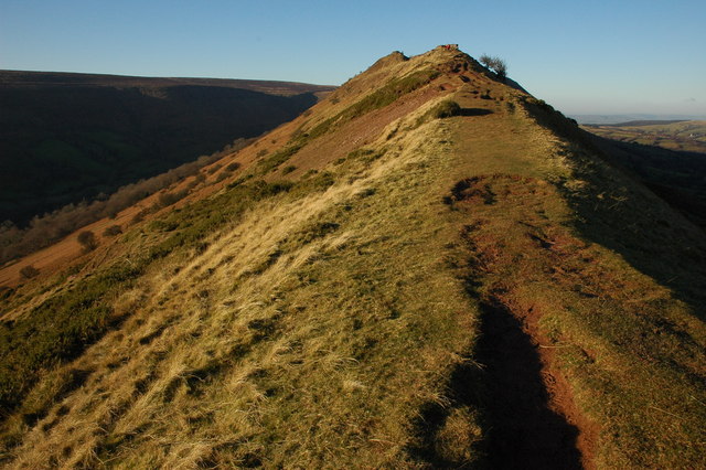
This walk from the village climbs to the nearby Cat's Back, a wonderful ridge on the England - Wales border.
The route starts in the village and heads west along country lanes to the Black Hill car park. There's an information board here telling you all about the area. From here you can pick up a trail up to the Cat's Back and follow the ridge up to the Black Hill Summit where there are magnificent views over the Olchon Valley to the Brecon Beacons.
After taking in the views the route descends back to the car park before following alternative paths through the countryside to the west of the village.
Postcode
HR2 0JW - Please note: Postcode may be approximate for some rural locationsMichaelchurch Escley Ordnance Survey Map  - view and print off detailed OS map
Michaelchurch Escley Open Street Map  - view and print off detailed map
Michaelchurch Escley OS Map  - Mobile GPS OS Map with Location tracking
Michaelchurch Escley Open Street Map  - Mobile GPS Map with Location tracking
Pubs/Cafes
Back in the village head to the Bridge Inn for some post walk refreshments. The friendly inn is situated in a lovely spot in the village, next to the Escley Brook. You can sit outside in the pretty garden and enjoy your meal with views of the stream. They have a varied menu and a particularly good selection of ciders as well. You can find them about 2 miles east of the car park at postcode HR2 0JW for your sat navs.
Dog Walking
The country trails are nice for dog walking but the ridge walk is narrow so be careful with your four legged friend there. The Bridge Inn mentioned above is dog friendly.
Further Information and Other Local Ideas
Just west of Black Hill you can pick up the epic Offa's Dyke Path. The waymarked National Trail will take you to other scenic highlights of the area including Lord Hereford's Knob (Twmpa) and Hay Bluff. The climb to Garway Hill is also not far from the village.
For more walking ideas in the area see the Black Mountains Walks and Herefordshire Walks pages.


