Walks in Mold

 This historic market town in Flintshire has some interesting old buildings, a fine 15th century church and views of the hearby Clwydian Range. For walkers there's two noteworthy local country parks, river paths along the Alyn River and a pretty local nature reserve to explore.
This walk from the town takes you to two of the highlights of the area at Loggerheads Country Park, Moel Famau Country Park.
The walk starts at the remains of Mold Castle in the town centre. You then head through the town before picking up a nice country lane to take you west to the Cefn Mawr Quarry and Loggerheads Country Park. There's a fine wooded gorge, impressive limestone cliffs and river walks along the River Alyn to enjoy in this lovely park.
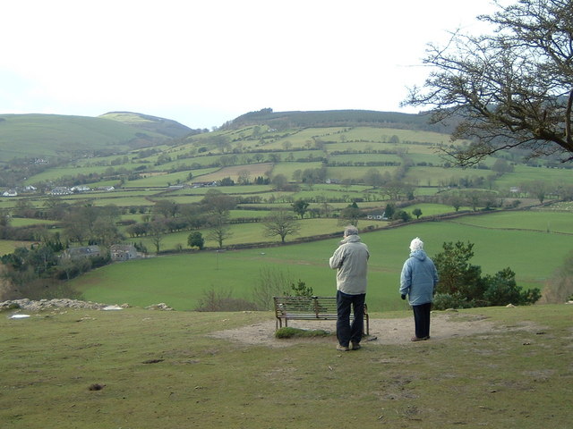
From the park you continue west past Ffrith Mountain to Moel Famau. The mountain is a popular place for walkers with views of the Clwydian Range, the Wirral, Merseyside, Snowdonia, the Dee Valley and the coast.
Mold Ordnance Survey Map  - view and print off detailed OS map
Mold Open Street Map  - view and print off detailed map
Mold OS Map  - Mobile GPS OS Map with Location tracking
Mold Open Street Map  - Mobile GPS Map with Location tracking
Pubs/Cafes
Head to Glasfryn for some post walk refreshments. There's a lovely garden terrace where you can sit outside and enjoy some splendid countryside views with your meal. They have an excellent menu and can be found on Raikes Lane with a postcode of CH7 6LR for your sat navs.
Dog Walking
The country and woodland trails on the route are ideal for dog walking. Moel Famau has some grazing areas where you asked to keep your dog on a lead. The Glasfryn Inn mentioned above is also dog friendly and can provide dog biscuits for your hungry friend.
Further Information and Other Local Ideas
A few miles north west of the town at Hendre there's a nice little walk to do at the Coed y Felin Woodland. There's peaceful woodland here with grassland, bluebells, birds and wildflowers to enjoy.
The circular walk from the nearby Maeshafn village visits Moel Famau, Loggerheads and the ancient fort at Foel Fenlli as well. You'll also pass the neighbouring village of Cilcain where there's a significant 13th century church and a fine early 19th century pub to see.
For more walking ideas in the area see the Clwydian Range Walks page.


