Mordiford Loop

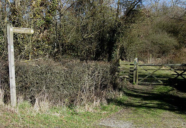
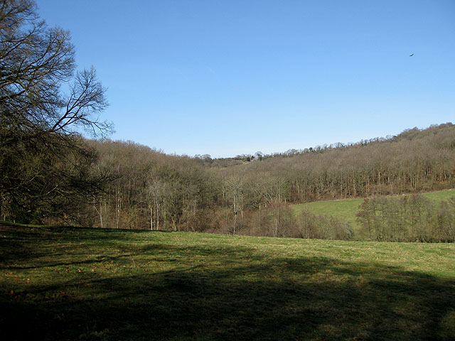
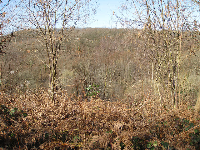
 This waymarked circular walk explores the countryside and woodland around the Herefordshire village of Mordiford. The area comprises of a number of pretty orchards where you can look out for Lesser-spotted Woodpeckers. There's also woodland trails, an Iron Age Hillfort and lots of nice Herefordshire countryside to enjoy. The route runs for just under 4 miles with some small climbs on the way.
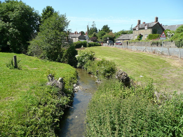
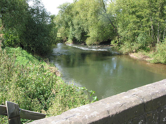
You can start the walk from the village or from the car park at Cockshoot Old Sufton. The village is very interesting and worth exploring. The bridge over the River Lugg dates from the 14th century. It is the oldest surviving bridge in Herefordshire.
The walk visits Bears Wood and skirts the edge of Haugh Woods. You'll also pass Backbury Hillfort which dates from the Iron Age. You can extend your walk by exploring Haugh Woods with its popular butterfly trails. Also of interest is the Wye Valley Walk which passes through the village.
You can pick this up and head into Hereford along the river.
Mordiford Loop Ordnance Survey Map  - view and print off detailed OS map
Mordiford Loop Open Street Map  - view and print off detailed map
Mordiford Loop OS Map  - Mobile GPS OS Map with Location tracking
Mordiford Loop Open Street Map  - Mobile GPS Map with Location tracking
Pubs/Cafes
The splendid Moon Inn is a fine choice for some post walk refreshment. The friendly pub does very good food and has a fine selection of ales too. Outside there's a large beer garden for warmer weather. You can find them at a postcode of HR1 4LW for your sat navs.
Dog Walking
The country and woodland trails on the route make for a fine dog walk. The Moon Inn mentioned above is also dog friendly.
Further Information and Other Local Ideas
You could follow the Wye Valley Walk south to visit the neighbouring village of Fownhope. Here you can start the circular Fownhope Walk which visits the bluebell woodland in Fownhope Park before heading to the adjacent Haugh Wood. The village also pubs a historic pub dating all the way back to the 15th century.
The Mordiford Dragon Trail is another great local option. The short walk celebrates Mordiford’s fascinating Dragon legend, taking you past a series of wooden sculptures which illustrate the tale of the dragon.
For more walking ideas in the area see the Herefordshire Walks page.
