Mumbles to Langland and Caswell Bay Walk

 This walk takes you from the Mumbles to the lovely Caswell Bay on the south east of the Gower Peninsula. The route runs for a distance of just over 4 miles on a undulating coastal path, passing Langland Bay on the way.
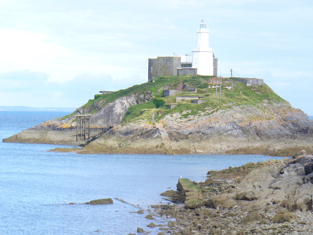
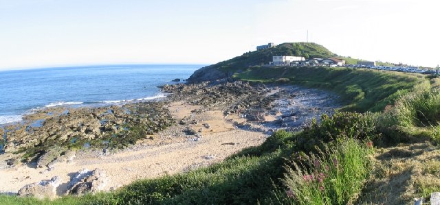
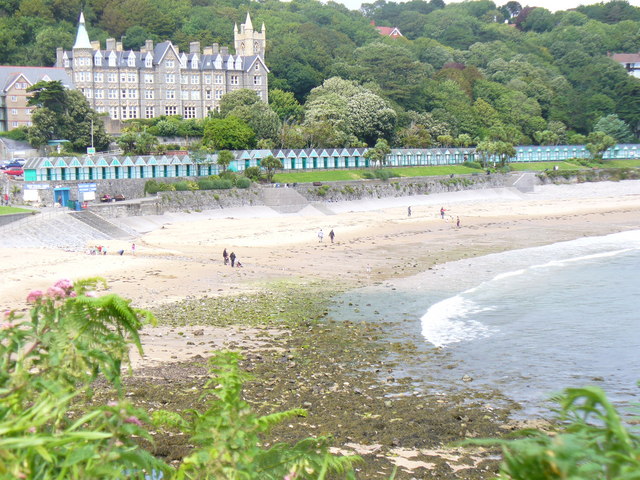
The walk starts from the information point near Oystermouth Castle in the Mumbles. You can then follow the coast path south to Mumbles Head and Limeslade. The route then turns west to take you past Bracelet Bay, Limeslade Bay, Langland Bay and Whiteshell Point before coming to Caswell Bay. Here you'll find a beautiful beach popular with tourists and surfers. The bay has good facilities with two cafes, which are open all year round, toilets and a beach shop. Just behind the beach there are some nice woodland trails to try in Bishop's Wood. The nature reserve includes limestone woodland and interesting flora and fauna.
You can return on the same paths to the Mumbles or there is a bus that can take you back if you prefer.
To extend your walking in the area you could try our Mumbles Circular Walk or head to the Bishopston Valley and visit the beautiful secluded beach at Pwll Du Bay.
Mumbles to Langland and Caswell Bay Walk Ordnance Survey Map  - view and print off detailed OS map
Mumbles to Langland and Caswell Bay Walk Open Street Map  - view and print off detailed map
Mumbles to Langland and Caswell Bay Walk OS Map  - Mobile GPS OS Map with Location tracking
Mumbles to Langland and Caswell Bay Walk Open Street Map  - Mobile GPS Map with Location tracking
Pubs/Cafes
At the western end of the beach promenade at Langland Bay, is a wonderful brasserie, which opened in the summer of 2007. The glass-fronted restaurant, cafe and bar includes a terrace and serves modern dishes, many with local seafood.
Further Information and Other Local Ideas
The Swansea Bike Path starts at Mumbles Head. The shared cycling and walking route runs along a surfaced path to Swansea, with splendid views of Swansea Bay and its beaches.


