Newport Pembrokeshire Walks - Near and Around

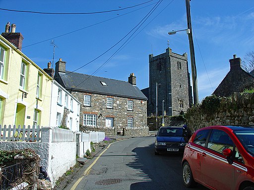
 This lovely small town sits in a fantastic spot on the Pembrokeshire coast. With the Carningli Mountain as a backdrop, coastal paths, a nice beach and some fine river estuary trails it's a splendid place for a scenic walk.
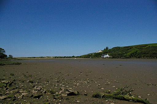
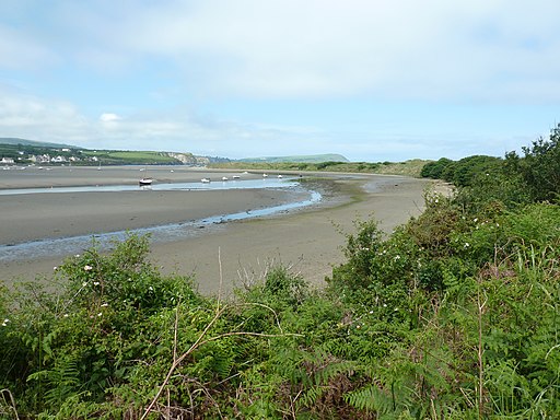
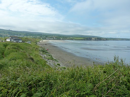
This walk takes you along a section of the Pembrokeshire Coast Path to the lovely beach at Newport Sands. Here the waymarked path runs along the picturesque
River Nevern Estuary. Along the way you'll pass the anicent Carreg Coetan burial chamber just before crossing Newport Bridge over the river. The chamber dates from around 3000 BC and is a scheduled ancient monument. The walk finishes at the Newport Sands beach where there's attractive sand dunes and the opportunity to wade across to Newport Parrog at low tide.
To continue your walking around Newport follow the coast path west to visit one of the area's highlights at Dinas Head. The headland is a great place for sea birds and commands wonderful views towards the beautiful Llyn Peninsula.
Postcode
SA42 0SY - Please note: Postcode may be approximate for some rural locationsNewport Pembrokeshire Ordnance Survey Map  - view and print off detailed OS map
Newport Pembrokeshire Open Street Map  - view and print off detailed map
Newport Pembrokeshire OS Map  - Mobile GPS OS Map with Location tracking
Newport Pembrokeshire Open Street Map  - Mobile GPS Map with Location tracking
Walks near Newport Pembrokeshire
- Dinas Head - Enjoy stunning coastal views on this circular walk on the Pembrokeshire Coast
- Gwaun Valley - This walk takes you through the delightful Gwaun Valley, near Fishguard
- Strumble Head - This circular walk takes you to this wonderful rocky headland on the Pembrokeshire coast
- Fishguard - The town of Fishguard is located in a wonderful location on the Pembrokeshire Coast
- Pentre Ifan - Visit the largest and most well preserved neolithic dolmen in Wales on this fascinating walk in Pembrokeshire
- Preseli Hills Golden Road - This splendid walking trail runs right along the spine of the Preseli Hills giving wonderful views of the area
- Ceibwr Bay - This walk explores the beautiful Ceibwr Bay on the Pembrokeshire Coast near Cardigan.
- Carn Ingli - This walk climbs to Carn Ingli mountain in the Preseli Hills of Pembrokeshire
Pubs/Cafes
The town is great for eating and drinking with lots of different options to choose from. One option is the splendid Pwnc Cafe where you'll find a first class bacon butty and a quirky interior with bicylces hung on the walls. You can find them at Old Sessions House, East St, SA42 0SY.
The Golden Lion is another good choice. It's a very large and historic inn, dating back over 300 years. They have a good bar and a restaurant serving fine dishes plus a marquee and garden outside if the sun is shining. You can find them on East St at postcode SA42 0SY for your sat navs.
Dog Walking
The coastal paths make for a fine dog walk and the Golden Lion mentioned above is very dog friendly. Treats and water are generall available here for your four legged friend. The town's beach is also dog friendly.
Further Information and Other Local Ideas
Head north along the coast path and you could visit Ceibwr Bay. The beautiful National Trust owned area has some wonderful cliff tops with seals and dolphins to look out for in the waters below.
Head south and you can try the climb to Carn Ingli in the Preseli Hills. It's a worthy climb with a number of fascinating ancient sites dating from the Iron Age and the Bronze Age. There's also some glorious views to the coast from the summit. There's a public car park just a couple of miles south of Newport where you can start the walk.
For more walking ideas in the area see the Pembrokeshire Coast Walks page.
