Old Man of Coniston Walk

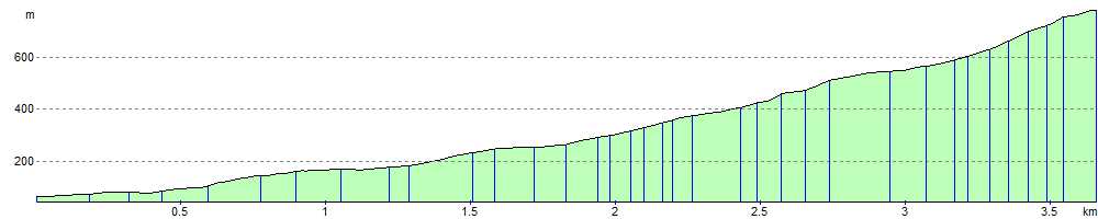
 Climb the 2,634 feet (803 m) high Old Man of Coniston on this strenuous walk in the Lake District. It's just under 5 miles there and back so should take about 3-4 hours to complete.
The route starts at Coniston village and soon joins Church Beck which you follow for about a mile before heading past Crowberry Haws, Stubthwaite Crag and the dramatically positioned tarn of Low Water to the summit. Here you will find a combined slate platform and cairn with magnificent views of Coniston Water, the southern Lake District, Morecambe Bay, Blackpool Tower, Winter Hill in the Pennines, the Lancashire coast and the Isle of Man.
This route is popular with tourists and offers a direct and picturesque path to the summit.
For a longer route around the fell try our Old Man of Coniston Circular Walk. After scaling the summit of the Old Man it visits several of the surrounding fells including Dow Crag, Buck Pike, Brown Pike and Walna Scar.
To extend your walking in the area you could try our 16 mile Circular Walk around Coniston which visits the tarns, fells and forest surrounding the lake.
You can also try the Coniston to Langdale Walk, the 2nd leg of the epic long distance Cumbria Way.
A short distance to the west of the summit you will find Dow Crag which is another fine viewpoint. Our Dow Crag and Seathwaite Tarn circular walk explores the Seathwaite Fells with lovely views of the nearby Goat's Water.
Old Man of Coniston Ordnance Survey Map  - view and print off detailed OS map
Old Man of Coniston Open Street Map  - view and print off detailed map
Old Man of Coniston OS Map  - Mobile GPS OS Map with Location tracking
Old Man of Coniston Open Street Map  - Mobile GPS Map with Location tracking
Pubs/Cafes
The Bluebird Cafe is located right next to Coniston Water. It does a great range of meals and snacks. There's also a lovely outdoor seating area with fine views across the lake. You can find it in the village at a postcode of LA21 8AN.
Further Information and Other Local Ideas
For more walking ideas in the area see the Lake District Walks page.
Cycle Routes and Walking Routes Nearby
Photos

Coniston Village. The main street pictured from the bridge over Church Beck. Long Crag, the lower part of Yew Pike, dominates the skyline.

Crowberry Haws. Crowberry Haws is in the foreground. In the background, is Wetherlam.

Low Water. Corrie tarn under Coniston Old Man

Ascending the Old Man on the path up to the Low Water Quarries

The Old Man summit platform with Dow Crag beyond

Cairn on Coniston Old Man Summit. A walker stood at a convenient position, in order to add a sense of scale to the magnificent cairn which stands on a plinth made of larger stones. I don't think that he realised that he was in my picture! According to the OS maps, based on the trig point, just a few yards to the left of picture, the height of The Old Man of Coniston is 803m.
Elevation Profile