Otterhead Lakes

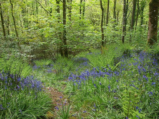
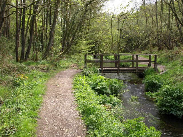
 This lovely little nature reserve in Otterford has some nice footpaths taking you along the two lakes and the River Otter. The two lakes which remain are all that are left of a series of pools in the landscaped gardens of Otterhead House which was built in 1845 and demolished in 1952. The site includes woodland trails with snowdrops in the winter and bluebells in the spring. There's also lots of wildlife to look out for. Keep your eyes peeled for kingfisher, dipper and wagtail as you make your way through the reserve.
Postcode
TA3 7EE - Please note: Postcode may be approximate for some rural locationsOtterhead Lakes Ordnance Survey Map  - view and print off detailed OS map
Otterhead Lakes Open Street Map  - view and print off detailed map
Otterhead Lakes OS Map  - Mobile GPS OS Map with Location tracking
Otterhead Lakes Open Street Map  - Mobile GPS Map with Location tracking
Pubs/Cafes
Just to the south east of the reserve you'll find the little village of Churchinford and The York Inn. The historic inn dates back to the 15th century and includes a fine interior. They serve particularly delicous pies and a popular Sunday roast. You can find them at postcode TA3 7RF for your sat navs.
Dog Walking
The woodland and lakeside trails are a pleasant place for a dog walk. The York Inn mentioned above is also very dog friendly.
Further Information and Other Local Ideas
Head east from the reserve and you can visit an interesting historical site at Castle Neroche. The area is the site of and Iron Age Hillfort and a Norman motte-and-bailey castle. There's some nice woodland trails and fine views of the Mendips and Quantocks Hills from the high points.
The long distance Staple Fitzpaine Herepath also runs through the area. This shared cycling and walking trail is often started from the car park at the castle. The path will take you to Thurlbear Wood where there's some fine ancient woodland, wildflowers and lots of wildlife to see.
To the west there's Hemyock which is notable as the largest village in the Blackdown Hills AONB. It also includes an ancient ruined castle and views of the River Culm so is worthy of some investigation.
For more walks in the AONB see the Blackdown Hills Walks page.


