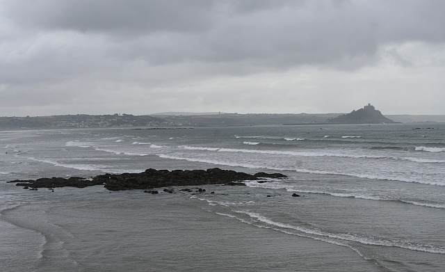
Penzance to Marazion Coastal Path Walk

 This walk takes you along the coast path from Penzance to Marazion. It's about a 3 mile walk, running along the beach between the two Cornish settlements.
You start off at the train station at Penzance and head east along the waymarked St Michaels Way to Marazion. Here you can pay a visit to St Michael's Mount where you'll find a 12th century medieval church and castle on an island which is reachable from Marazion by a man-made causeway of granite setts, passable between mid-tide and low water. Also in the area is the lovely Marazion Marsh RSPB reserve where you can look out for a variety of wildlife.
Penzance to Marazion Coastal Path Walk Ordnance Survey Map  - view and print off detailed OS map
Penzance to Marazion Coastal Path Walk Open Street Map  - view and print off detailed map
Penzance to Marazion Coastal Path Walk OS Map  - Mobile GPS OS Map with Location tracking
Penzance to Marazion Coastal Path Walk Open Street Map  - Mobile GPS Map with Location tracking
Pubs/Cafes
The Fire Engine Inn is a good choice for post walk refreshments in Marazion. Inside there's exposed stone walls and wood ceiling beams while outside there's a lovely garden with views to the bay and St Michael's Mount. You can find them on Higher Fore Street at postcode TR17 0BB.
Dog Walking
The coast path is a nice one to do with your dog though the main town beach in Marazion has a dog ban during the peak summer months. The Fire Engine Inn mentioned above is dog friendly.
Further Information and Other Local Ideas
To extend your walking in the area you could visit the nearby Hayle Estuary where there's more great birdwatching opportunites.
For more walking ideas in the area see the Cornwall Walks page.


