Rock to Polzeath Walk

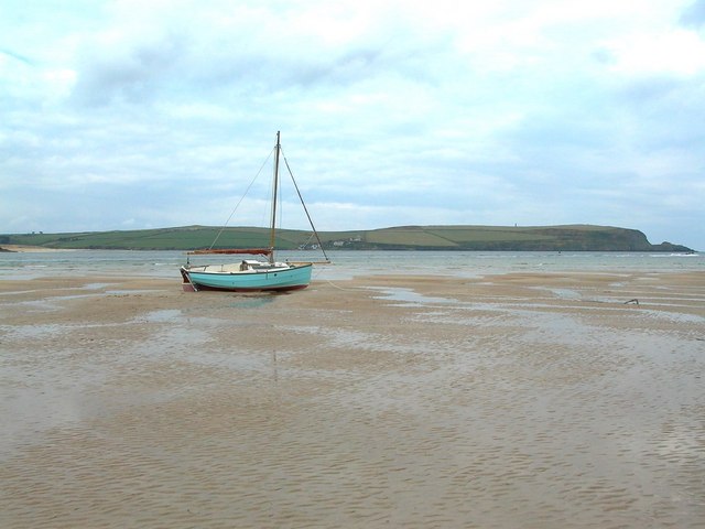
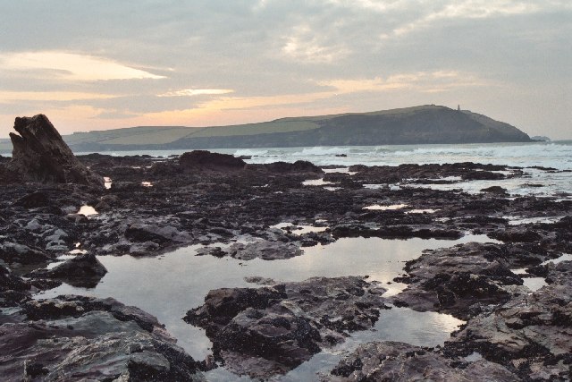
 A popular walk from the village of Rock to the neighbouring village of Polzeath on the Cornish coast. The walk runs for a distance of about 2.5 miles with some small climbs on the way. It runs along the Camel Estuary with fine views over to Padstow on the other side.
The walk starts in Rock where there is a public car park near the coast. From here you can pick up the South West Coast Path and follow the waymarked footpath north to Cassock Hill and Brea Hill. The route continues past Daymer Bay and the Doom Bar to Trebetherick Point. The final section runs past Broadagogue Cove before finishing in Polzeath. The award winning beach is a popular place for surfers and the little village has some nice shops and cafes to explore.
Rock to Polzeath Walk Ordnance Survey Map  - view and print off detailed OS map
Rock to Polzeath Walk Open Street Map  - view and print off detailed map
Rock to Polzeath Walk OS Map  - Mobile GPS OS Map with Location tracking
Rock to Polzeath Walk Open Street Map  - Mobile GPS Map with Location tracking
Pubs/Cafes
At the end of the walk you could head to The Waterfront in Polzeath. The bar is in a great place overlooking the beach. You can sit out on the balcony and enjoy some of their delicious fish and chips with a lovely coastal view. You can find them at postcode PL27 6SP for your sat navs.
Dog Walking
The coastal paths and the beaches are a fine place for you and your dog. The Waterfront pub mentioned above is also dog friendly. Dogs are allowed on Polzeath beach apart from between May to September.
Further Information and Other Local Ideas
From Rock you can catch the ferry over Padstow on the other side of the river. Here you can pick up the Padstow to Harlyn Bay Walk, the Padstow to Trevone Bay Walk and the Stepper Point Walk. There's also the popular Camel Trail, a shared cycling and walking trail running along the river to Poley's Bridge.
Continue east from Polzeath on the Polzeath to Port Isaac Walk and you will come to the noteworthy village of Port Isaac. The picturesque village has been made famous by ITV's 'Doc Martin', featuring Martin Clunes. The Port Isaac Walk will take you to the nearby Port Quin where there is a beautiful bay.
For more walking ideas in the area see the Cornwall Walks page.


